GIS Resources Magazine (Issue 1 | March 2021): UAV Mapping for Land Record Modernization
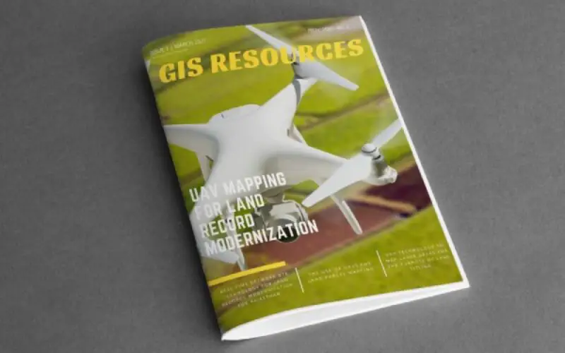
GIS Resources is pleased to announce the release of its 1st edition (March 2021) of the print and digital magazine. The edition titled “UAV Mapping for Land Record Modernization” focuses on the role of UAV and other geospatial technologies in mapping and Land Record Modernization.
Land is a limited resource. With no clear land titling system as yet, there is increased pressure on its ownership and use. In India, a large percentage of available land is used for Agriculture. However, the increased population has lead to a decrease in the size of individual land holding, causing inefficiencies in economies of agricultural produce. Ownership disputes clog the courts for years locking land that was needed for other use. Improper and unauthorized diversion of land use adversely affects flora and fauna, the environment, and maybe the food chain as well as the use of community land-holdings. And life & livelihood is adversely affected.

High-end Geospatial Technologies must be used to measure and fix the corners of an Individual land parcel with a high degree of accuracy in order to prevent uncertainties in the area of the individual landholding. This will ensure a high degree of measure when individual land holdings are aggregated to obtain village areas and higher-order administrative domains.
This quarterly issue attempts to give balanced information on how UAV and other geospatial technologies are used in land mapping and land record modernization.
Following are the articles published in this issue:
- The Use of UAVs for Land Parcel Mapping by Applanix Corporation (A Trimble Company)
- UAV Technology to Map Large Areas for the Purpose of Land Titling by Wingtra
- Drone Surveying and Mapping Old Quarries with New Tools for New Use by Pix4D
- Establishing Land Boundaries in the Middle East by John Stenmark, Writer and Consultant
- Real-Time Network RTK Technology for Land Records Modernisation for Rajasthan by Ashok Prim, Director (Retd), Survey of India India