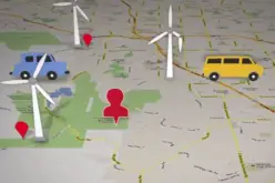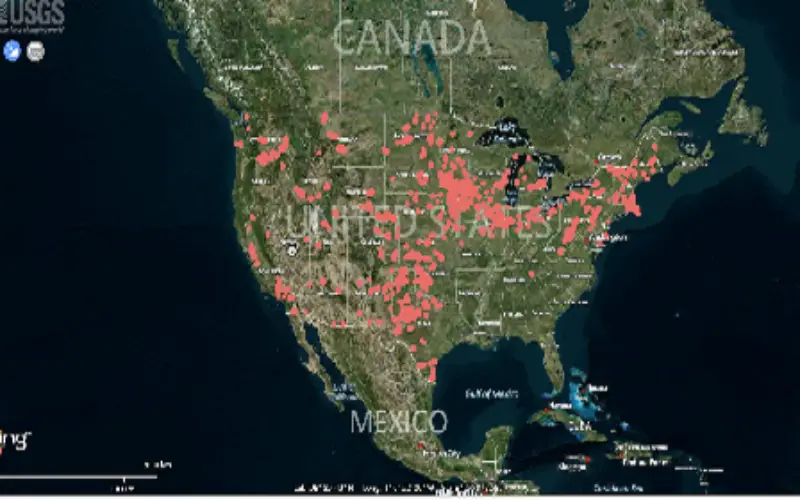
A tutorial by USGS scientist Chris Garrity demonstrating how to use the WindFarm Mapping tool.
Categories:
Videos

A tutorial by USGS scientist Chris Garrity demonstrating how to use the WindFarm Mapping tool.