The UK Environment Agency (EA) is to make its LiDAR datasets freely available as open data to commercial entities from September this year.
Since 2013, LiDAR data has been published for non-commercial use to anybody who wanted it. The data can be use in many ways including creating flood models, assessing coastal change and analysing how land is used.
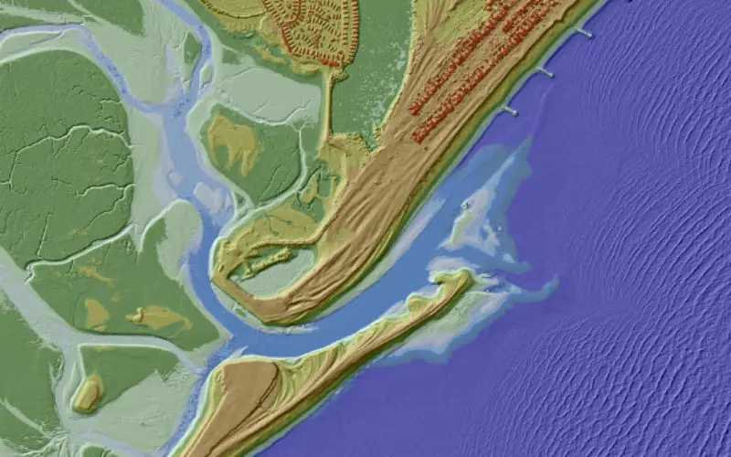
The EA now have an extensive archive of aerial LIDAR data covering nearly three quarters (72%) of England. The data mainly covers floodplains, coastal zones and urban areas.
Making environmental information available will facilitate decision making, influencing actions and delivering sustained environmental improvements.
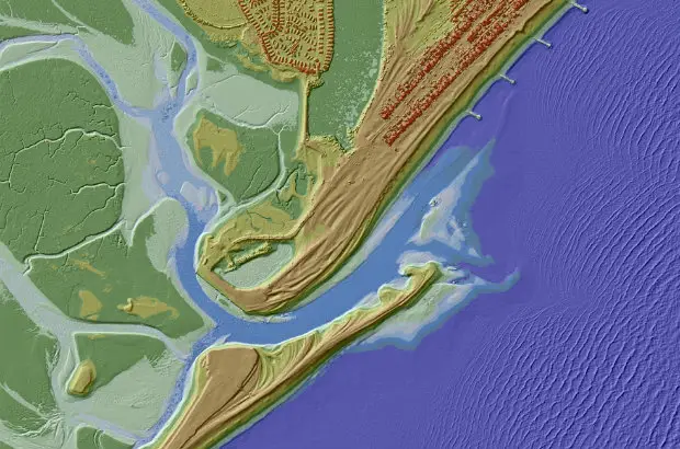
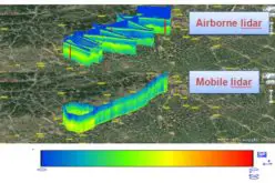
Credit: Environment Agency, UK
EA has released two LIDAR products under the Open Government Licence and you will be able to access these through Datashare.
1. Tiled LIDAR data
The full tiled dataset consists of historic LIDAR data which has been gathered since 1998. For some areas we have carried out repeat surveys and data is available in a range of resolutions.
2. Composite LIDAR data
The composite dataset is derived from a combination of our full tiled dataset which has been merged and re-sampled to give the best possible spatial coverage.
The EA holds many other many other datasets, some of which are available as open data at http://www.geostore.com/environment-agency/WebStore?xml=environment-agency/xml/index_public.xml.
You can either download them as digital GIS data onto your desktop, or you can access them as an Open Geospatial Consortium (OGC) Web Map Service (WMS) or Web Feature Service (WFS).
Source: Environment Agency, UK