Tokyo, Japan, and New Delhi, India, May 21, 2018 – MapmyIndia is happy to announce its partnership with NTT DATA Corporation (TOKYO: 9613) a global IT solutions provider, to develop India’s first large-scale 3D map datasets, named AW3D India. The joint undertaking will deliver unrivaled digital-elevation datasets on a fast, cost-effective basis, combining NTT DATA’s expertise and international experience in mapping and 3D technologies with MapmyIndia’s two-plus decades of experience in mapping the Indian terrain.
Businesses and Government users will now be able to better leverage on the most
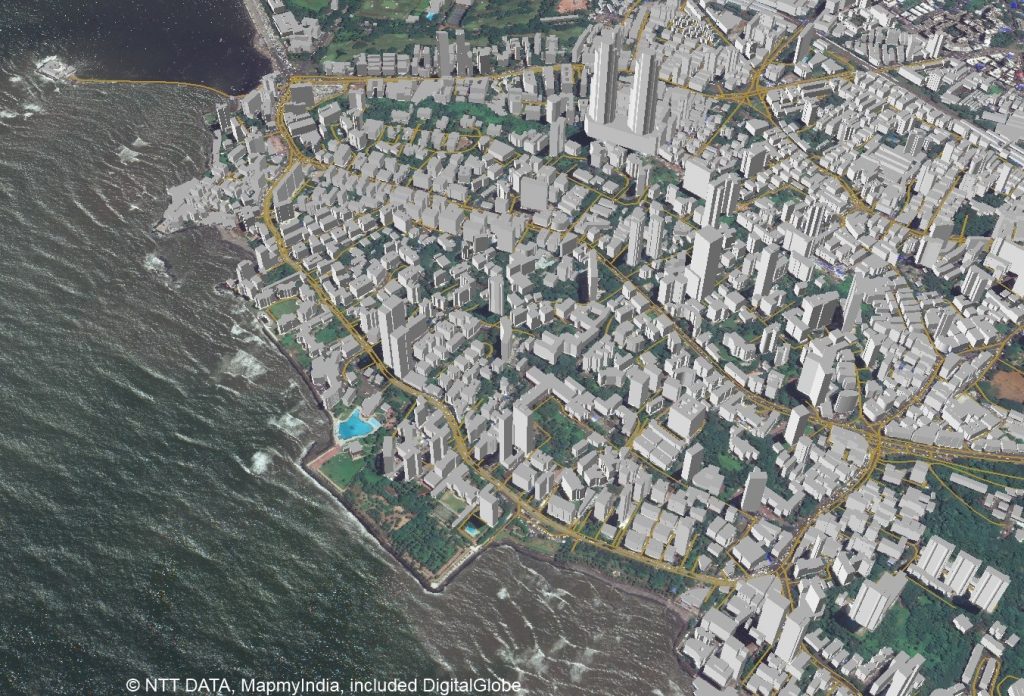
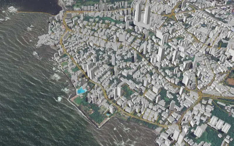
Image Credit: MapmyIndia
“Through our collaboration with MapmyIndia, we look forward to establishing a leading position in India’s 3D mapping market,” said NTT DATA Senior Vice President Shinichi Usui. “Building on MapmyIndia’s local strengths, we will offer 3D datasets that enable our Indian customers to develop sustainable and future-capable businesses. This will be an important step in NTT DATA’s plan to drive the global market for 3D mapping.”
“It has been our endeavor to make available to the Indian consumer the best of mapping and location technology,” said MapmyIndia Executive Director Shivalik Prasad. “I am happy that a leading company like NTT DATA has joined forces with us to develop AW3D maps for India, which are some of the best 3D map datasets in use across the world.
Coverage and Benefits
AW3D® is the world’s most precise, pre-produced global series of digital-elevation models covering all land spaces with five-meter resolution. AW3D also provides high-resolution 3D maps across the globe with up to 0.5m resolution. Users of AW3D India will benefit from up-to-date, highly detailed 3D datasets covering extensive areas of the Indian subcontinent. To develop AW3D India, NTT DATA’s 3D mapping algorithm will be combined with MapmyIndia’s advanced mapping technology. The datasets will be extremely useful for a wide variety of segments in the Indian economy, including telecom, automotive, construction, insurance, and government. AW3D for India’s 3D maps will enable users to make fast, informed decisions for undertakings such as 4G/5G network planning, navigation, insurance risk mitigation and smart city planning.
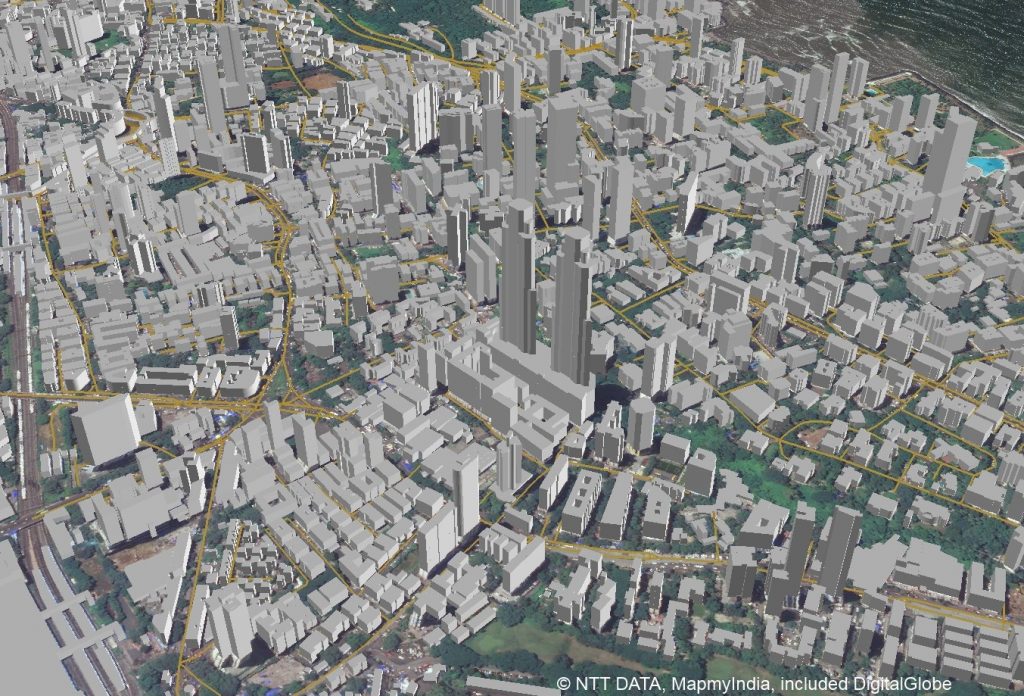
Image Credit: MapmyIndia
About MapmyIndia
Headquartered in New Delhi (India’s capital) with offices across the country, MapmyIndia (C.E. Info Systems Pvt. Ltd.) was founded in 1995. The company is India’s leader in premium quality digital map data, APIs, GPS navigation, telematics, location-based SaaS and GIS Solutions.
With over 22 years of continuous efforts, MapmyIndia has pioneered the creation of digital maps in India – the most comprehensive, accurate, and continuously updated nationwide map dataset IP. The company has grown its prowess with cutting-edge location technology, specifically in the areas of Navigation, Tracking, IoT, and Analytics to provide products, services, and solutions to over 10 million end users – be it consumers, enterprises or the government.
MapmyIndia is focused on building a smarter and better future and packages its offerings to contribute to four broad themes – Smart Cars, Smart Businesses, Smart Governments, and Smart Consumers. We are proud to be a truly Indian company that is committed to generating employment for Indians. MapmyIndia endeavors to power the entire ecosystem with best-in-class maps and location, and to leapfrog India to the forefront of the digital world.
About NTT DATA Corporation
NTT DATA is a leading IT services provider and global innovation partner headquartered in Tokyo, with business operations in over 50 countries. Our emphasis is on long-term commitment, combining global reach with local intimacy to provide premier professional services varying from consulting and systems development to outsourcing. For more information, visit www.nttdata.com.
About AW3D
AW3D is the world’s most precise, pre-produced series of global digital-elevation models covering all land spaces with five-meter resolution. NTT DATA developed and sells AW3D jointly with the Remote Sensing Technology Center of Japan (RESTEC). To date, AW3D has been used in 500 projects and more than 70 countries, mainly in emerging markets countries of Asia and Africa for infrastructure development, disaster-prevention measures and much more. In May 2015, NTT DATA launched an enhanced service that offers high-definition and high-resolution (0.5- to two-meter) satellite images of buildings and other structures, including their heights, in a vector-map format. Please visit http://www.aw3d.jp/en/.
“AW3D” is a registered trademark of NTT DATA and RESTEC in Japan, and a registered trademark of NTT DATA in Europe (EUTM) and the United States.