 According to recent news, the Central Road Research Institute (CRRI) has developed several technologies/procedures/methods for construction and maintenance of Indian roads such as cold mix & warm mix technologies for bituminous roads, use of waste plastic, industrial waste (copper slag, zinc slag, steel slag etc.), use of mastic asphalt, micro-surfacing, design & specifications for construction and maintenance of roads & bridges, procedures for road safety measures, use of fly ash in road embankment, methods for maintenance of cement concrete roads etc.
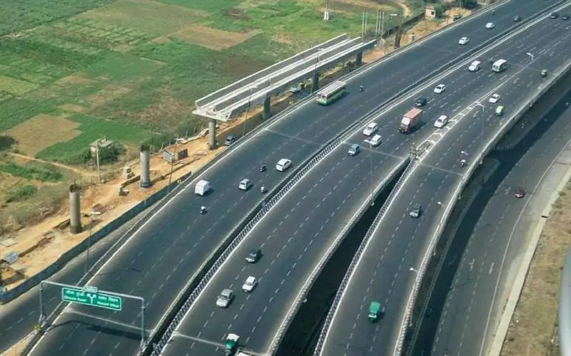
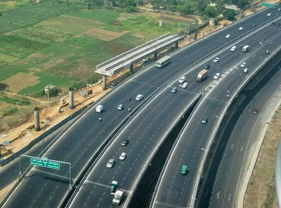
National Highway Authority of India (NHAI) has initiated steps for use of space technology for preparation of detailed project reports, monitoring of construction and road asset management. NHAI proposes signing MOU with Indian Space Research Organisation (ISRO) & North East Centre for Technology Application and Research (NECTAR) for use of space technology in aforesaid areas.
This information was given by Minister of State for Road Transport & Highways, Shri Pon. Radhakrishnan in a written reply to a question in the Lok Sabha.
– Business Standard