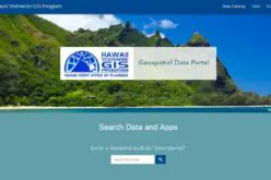
Kerala is the First State to Embark Land Resources Information System (LRIS) – India
India – Kerala is the First State to Embark Web Based Land Resources Information System (LRIS)
The Land Resources Information System (LRIS) is an effort to streamline rural growth and derive more benefits from development activities like the employment guarantee programme, watershed management and food security.
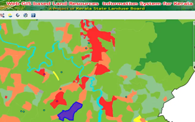
The LRIS project, is a web-based Geographic Information System (GIS) initiated by Kerala State Land Use Board (KSLUB), and is implemented with technical assistance from the Indian Institute of Information Technology and Management-Kerala (IIITM-K).
The primary objective is to demonstrate and promote the use of spatial data technologies for local level planning and to provide software support for data management, modeling and operation research. This is achieved through the following specific actions such as spatial geo-database creation, decision making tool & dissemination and capacity building.
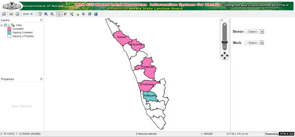
The multi-layered information system contains a comprehensive status of land and water resources in a spatial framework, thus providing a great deal of information on natural resources and helping in its management. LRIS, which has been developed by combining manual data gathered through the panchayat resource mappings (PRM) and information from satellites, can be updated at frequent intervals.
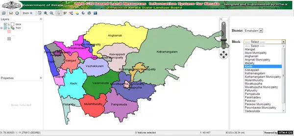
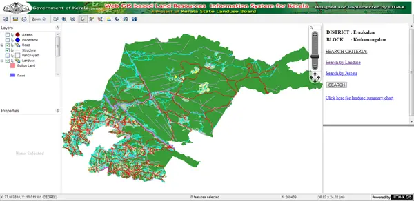
Spatial depiction of land & water resource information integrated with geo referenced cadastral database. State-of-the-art web technology tools and systems conforming to Services Oriented Architecture. The Web GIS application is developed using Open Source Tools and Standards.
The entire application is Web based and can be accessed through any standard web browser with user-friendly navigational approach. Disseminate resource information to the people at grass root level for supporting decision making and developmental planning.
Land Resources Information System (LRIS) demonstrate and promote the use of spatial data technologies for local level planning Provide software support for data management, modeling and operation research, promote R & D in spatial data technologies, technology transfer and capacity building of potential users.