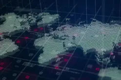
Geospatial Technologies Will Play an Increasing Role in Rural Development
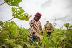
Rural development is a complex mix of fulfilling rural aspirations and providing opportunities and avenues to sustain their growth. Rural development is largely dependent on the demography & socio-economic pattern of a region. One model fits all will not succeed as agrarian, non-agrarian vocations combined with a demographic variation, with their unique legacies, will make it near impossible to implement a single strategy that is thought out in the war rooms by metro based planners & economists.
However one thread that is common for rural development is the provision of basic and/or advanced infrastructure in the rural areas to give abilities & tools to the local populace to take control of their lives in order to sustain their growth independently.
Geospatial Technologies have a larger role to play in this vital area of infrastructure development. Provision of water, electricity, heath facilities, education and resources to store, transport & sell their produce will ensure long term development in rural areas.
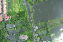
Villages are beginning to prepare maps of the village and its neighbourhood to better understand the available resources and to plan for future development. Strategies on rainwater retention & storage based on these two or three dimensional maps have enabled villages to achieve self sufficiency in the year round availability of drinking water for themselves and for their cattle. The maps have helped to identify and preserve vital pasture land for their cattle, water bodies for their drinking water, rivers, streams and canals for irrigation etc.
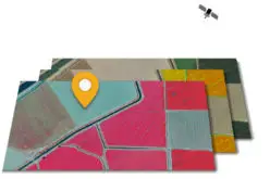
Advanced Geospatial Technologies will enable faster and more accurate surveys to bring electricity, water, gas, optical fibre cables to provide amenities and utilities for the well being of the local populace. Geospatial Surveys & GIS technologies can be used to determine the need and provide the ideal location of health centres, schools, colleges, vocation/training centres, veterinary hospitals etc in an area for the benefit and upliftment of the local populace. With specific information infrastructure & amenities can be set up for the development of women and the girl child.
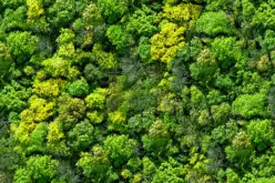
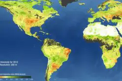
UAV or Drone based Remote Sensing Technologies are being deployed to a limited extent to estimate crop produce and need for fertilizer & pesticide affecting quantum of crop produce. These technologies can also be used to estimate crop losses due to pest infestation, drought, flood, natural calamity etc to provide information on subsidy, compensation or insurance to the affected person. There is need for a more widespread use of these technologies.
Overall Geospatial Technologies are certain to play an ever-increasing role in the development of infrastructure in rural India to not only enable their development but also to provide essential services to the rural population.
The June 2018 edition of the magazine feature articles on the implementation and role of geospatial technologies in the rural developments.