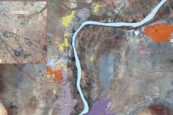
Flyovers began on Friday, December 8th to authorized areas, complying with FAA regulations that ensure emergency response teams can effectively combat the fires.
LEHI ,UT — December 8, 2017 — Hail storms, hurricanes and wildfires have caused extreme destruction throughout 2017.
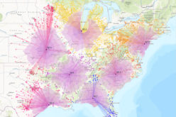
Unfortunately, that trend continues with the devastating wildfires in Southern California. As many as six fires are now burning in California with thousands of firefighters and response personnel working to help with containment.
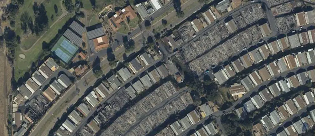
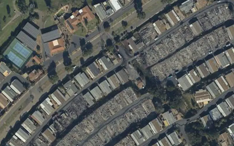
Credit: Geomni
Earlier this week Geomni activated one of its regional hubs, proactively engaging Geomni’s aerial capture program in response to the Southern California fires. With logistical challenges due to the spreading wildfires now resolved, Geomni is in the air and actively conducting aerial flyovers of the affected areas. Flyovers began on Friday, December 8th to authorized areas, complying with FAA regulations that ensure emergency response teams can effectively combat the fires.
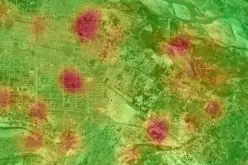
Imagery collected will help document the affected areas, provide operational efficiencies, and speed up damage estimation as soon as the restoration process can begin. Geomni imagery and data analytics fully integrate with Xactimate, the most widely used damage-repair estimating solution on the market.
Geomni is mindful of the thousands of residents who have been impacted by these fires. The company will continue to collect aerial imagery to speed up the restoration process once the fires have been extinguished.
About Geomni
Geomni, a Verisk Analytics (Nasdaq:VRSK) business, provides the world’s most efficient multitier, multispectral terrestrial imagery and data acquisition, processing, analytics, and distribution-offering the best value through operational excellence.
Using the latest remote sensing and machine learning technologies, Geomni gathers, stores, processes, and delivers geographic and spatially referenced information that supports uses in many markets, including insurance, commercial property, energy, banking, architecture, engineering, emergency response, urban planning, and much more.
Mapping professionals and firms can use the data to accurately understand growth and change, determine damage, discover hazards, assess risk, perform valuations, and much more. Geomni data, tools, and services provide users with critical solutions that protect people, property, and financial assets. For more information, please visit Geomni.net.
Source: Geomni