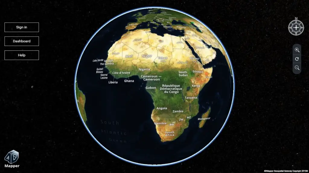
4Dmapper is a web based geospatial product. If you are thinking that it is same as Google Earth or Bhuvan; NO, 4Dmapper is a rich, purely browser based 3D environment with no installation or plugins or license required. It is unique in helping everybody to manage and share their geospatial data in an impressive way by just opening up their browser.
Data securely stored and backed up on the cloud, with management and sharing tools and you can immediately visualize 3D and 4D data. The professional users of other web GIS solutions can simply import their data to 4dmapper via its WMS link and get the advantage of the 3D environment.
Supports all Geospatial Data Formats:
- Orthophotos (.tiff),
- Terrain models (.tiff) and
- Point clouds or LiDAR point (.las/.laz/.e57).
- In future 4Dmapper planning add support for shapefiles and other formats.
How it Works:
- Drag and drop your files
- Upload them to the server, then
- Manage and share them with anyone via a URL
Large Orthophotos, Digital Terrain Models, Point clouds, LIDAR. Any data file, no matter how big, can be ingested and served. Once processed, the whole project can be seen immediately in any browser, to its full original spectacular detail.
Allow multiple users to access your rich spatial data projects. Just create a link to send to colleagues and clients. They can then simply view the data, download the original files, manage and measure right in their browsers.