
Issues to be Addressed While Georeferencing
We already have discussed Georeferencing in one of the previous posts. Today will be adding a few more important issues that need to be considered while understanding Georeferencing or performing Georeferencing tasks.
Irrespective of the methods chosen for Georeferencing some of the following issues to be addressed for the desired result.
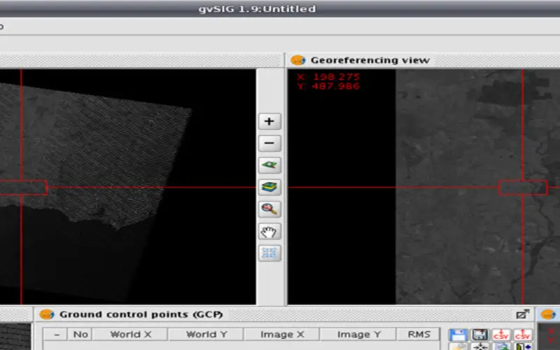
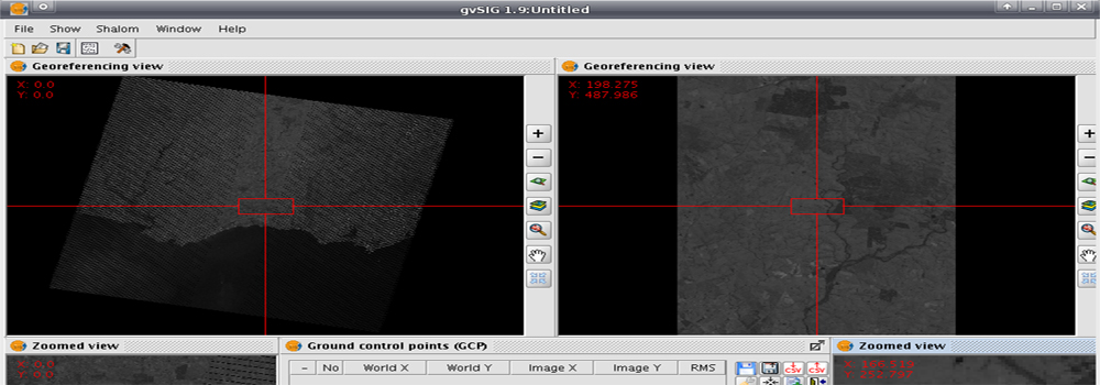
1. Ground Control Points (GCPS): The GCPs should be clear & sharp and well and evenly distributed throughout the image. The minimum numbers of GCPs required to depend on the order of transformation. For 1st order 3 GCPs, for 2nd order 6 GCPs and for 3rd order 10 GCPs and so on a number of points is required. However, the minimum number of GCPs required is always taken more than for a defined order of transformation so that error can be distributed in least-square adjustment.
2. Order of Transformation: Relationship between Image coordinate and ground coordinates are established by a coordinate transformation. Always 1st order of transformation is preferred if the desired accuracy is achieved as it is a linear one. The higher-order transformations are non-linear which causes the image deformation in the location where control points are not there.
3. Acceptable Accuracy: The accuracy is often defined by Root Mean Square Error (RMSE). The desired accuracy depends on the purpose, spatial resolution of the data used, and reliability of the GCPs. In ideal condition RMSE within a pixel is achievable.
4. Resampling: The location of output pixels derived from the ground control points (GCPs) is used to establish the geometry of the output image and its relationship to the input image. The difference between actual GCP location and their position in the image are used to determine the geometric transformation required to restore the image. This transformation can be done by different Resampling methods where original pixels are resampled to match the geometric coordinates. Each Resampling method employs a different strategy to estimate values at the output grid for given known values for the input grid.
The three most commonly used resampling methods used are:
i. Nearest Neighborhood: The simplest strategy is simply to assign each corrected pixel, the value from the nearest uncorrected. This is used if the image is used for classification after geo-referencing as it retains the original pixel values.
ii. Bilinear Interpolation: The strategy for the calculation of each pixel value is based on a weighted average of the four nearest input pixels. As the output image is resampled by averaging over areas, it decreases the spatial resolution of the image.
iii. Cubic Convolution: It is the most sophisticated and complex method of Resampling. Cubic convolution uses a weighted average of values within a neighborhood of 25 adjacent pixels. The image produced by this method is generally more attractive but is drastically altered than the nearest neighbor and bilinear interpolation.
