Free GIS Data – Elevation/ DEM/ DTM Data
Elevation/ DEM/ DTM Data
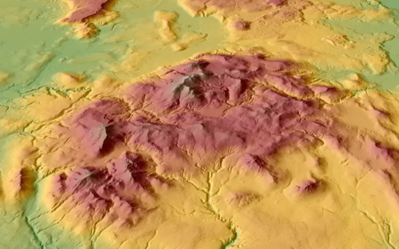
- GDEM: 30m resolution global elevation data derived from ASTER satellite images
-
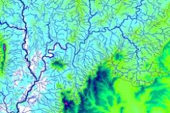
style="text-align: justify;">SRTM: Approx 90m (3 arc-second) resolution elevation data from the Shuttle Radar Topography Mission for the whole world.
- ETOPO1: 1 arc-minute resolution relief model including ocean bathymetry.
- Global Multi-Resolution Topography: Gridded elevation at approximately 100m resolution, covering terrestrial and sea-floor topography.
- OpenTopography: A community-based site giving free access to high-resolution topography data. Data at the moment appears to be clustered on the West Coast of the USA and in Greenland, and is available both as dense point clouds and processed DEMs.
Categories:
GIS Data