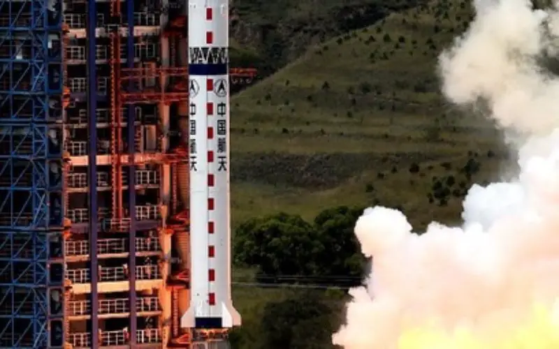
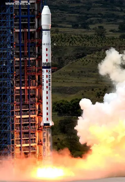
A Long March-4B carrier rocket carrying the Yaogan-21 remote sensing satellite blasts off from the launch pad at the Taiyuan Satellite Launch Center in Taiyuan.
In recent news,China has successfully launched Yaogan-21, a remote sensing satellite on September 8, 2014 from Taiyuan Satellite Launch Centre.
A Long March-4B carrier rocket carries Yaogan-21 and Tiantuo-2 satellite, designed and built by the National University of Defence Technology (NUDT).
Yaogan-21 will be useful for vegetation monitoring, disaster relief, natural resource monitoring and mapping and for other scientific experiments.
Tiantuo-2 is a small satellite weighing 67 kg and carries four video cameras. It is able to track and record moving targets and send the images back to the ground in real time, according to a statement from the NUDT.
The major task of Tiantuo-2 is to test these technologies and prepare for the research and development of video-imaging satellites with higher resolution, the statement said.
Source: Xinhuanet