 In recent news,China has successfully launched a Yaogan-23 remote sensing satellite into scheduled orbit that will help in scientific experiments, natural resource surveys, crop yield estimates and disaster relief measures.
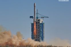
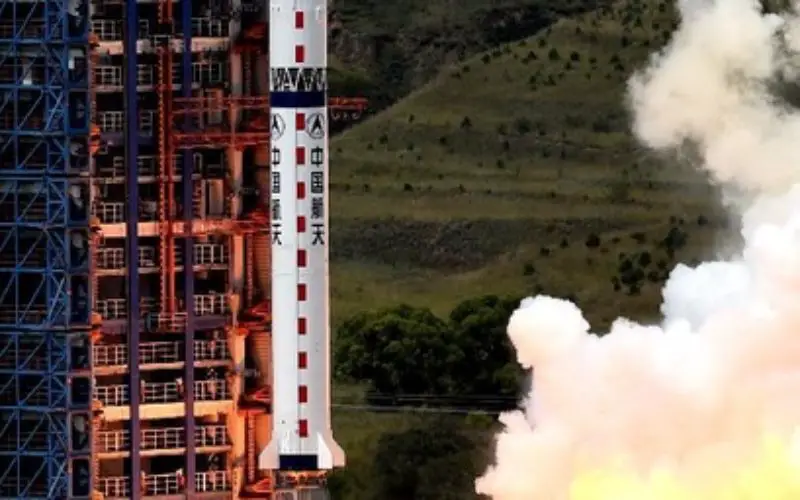
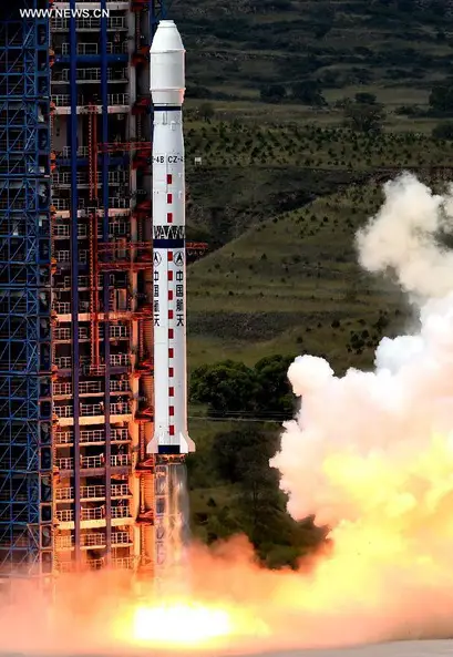
The satellite Yaogan-23 was launched earlier today from Taiyuan Satellite Launch Centre and was carried by a Long March-2C rocket, marking the 198th mission for the Long March rocket family.
China launched the first satellite in the “Yaogan” series, Yaogan-1, in 2006.
The remote sensing satellite will mainly be used for scientific experiments, natural resource surveys, crop yield estimates and disaster relief, state-run Xinhua news agency reported.
The new satellite was put in orbit amid plans announced by China on November 10 to launch around 120 more applied satellites to “accommodate economic and social needs”.
Yang Baohua, deputy general manager of the China Aerospace Science and Technology Corporation, said Chinese economy will continue to record relatively high growth, generating more demand for aerospace technologies.
He, however, did not specify time span during which the satellites would be launched.
“We will focus on building a self-controlled national space infrastructure that can operate continuously and stably for a long time,” he said.
China will launch about 70 remote sensing satellites to detect the near-Earth space environment and predict extreme events and also launch about 20 communication satellites to meet communication demand in national security and public services, he said.
In addition, China will launch about 30 navigation satellites to provide accurate and reliable global positioning and navigation services, he added.
Source: PTI