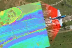
Aerial LiDAR Survey to Produce 3D Flood and Hazard Maps for River System in Philippines
Catandunganon, Philippines – Recently a team from the Department of Science and Technology (DOST) and the University of the Philippines Training Center for Applied Geodesy and Photogrammetry (UP TCAGP) has conducted a aerial survey of island, this was a part of a program aimed at producing three-dimensional flood and hazard maps for majority of the country’s river systems.
The team arrived in the 2nd week of February with an airborne sensor of Light Detection and Ranging (LiDAR) equipment and began conducting survey missions in the target priority areas in Catanduanes. Among the LiDAR coverage areas here are the coastal areas stretching from San Andres to Virac and along the eastern coast towards Pandan, as well as the vast nipa swampland straddling the boundary between Panganiban and Viga.
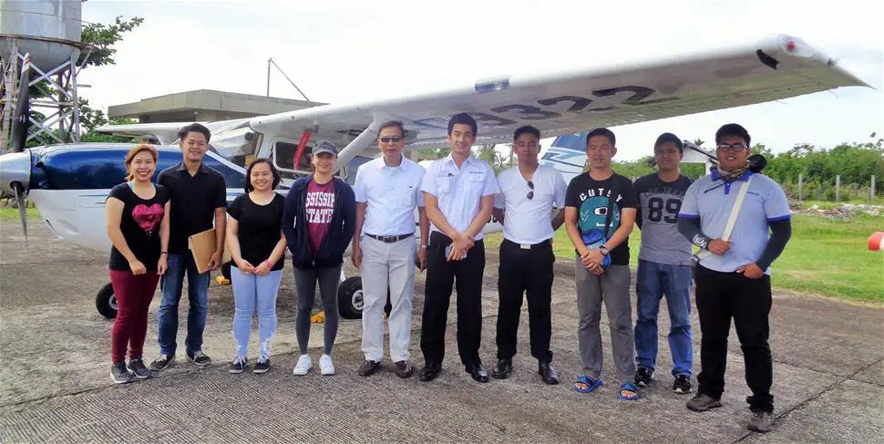
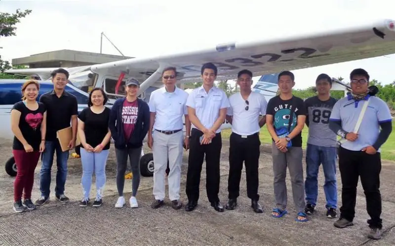
Aerial LiDAR Survey: Composing the team were senior science research specialist Pearl Mars, research associates For. Regina Felismino, Jonalyn Gonzales, and Engr. Brylle de Castro, and airborne security TSgt. Lee Jay Punzalan. Image Credit: Catandunganon Tribune
In Catanduanes, the LiDAR data acquisition survey missions were conducted between 5 A.M. to 5:30 P.M. over several days depending on the cloud cover and weather condition in the survey area, with the plane flying at an altitude of 600 to 1,500 meters for each mission that lasted 3-4 hours. The survey team also established two GPS stations within the 30-kilometer radius of the survey area to provide geographic reference. The project is using four aircraft in the surveys.
“The life-saving information produced by the program aims to aid planners and local government units to prepare for and propose countermeasures for the pronounced probable La Niña occurrence this year,” project leader Engr. Louie Balicanta told Mayor Samuel Laynes.
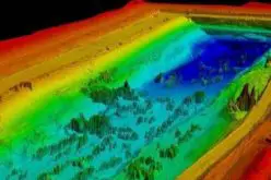
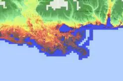
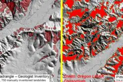
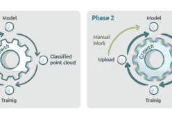
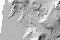
The data gathered will be used ti produce an up-to-date and detailed national elevation dataset suitable for 1:5,000 scale mapping, with 50 cm and 20 cm horizontal and vertical accuracies, respectively. The airborne LIDAR systems reportedly collect point cloud data at a rate of 100,000 to 500,000 points per second, and are capable of collecting elevation at a rate of 300 to 400 square kilometers per day, per aircraft.
Source: Catanduanes Tribune