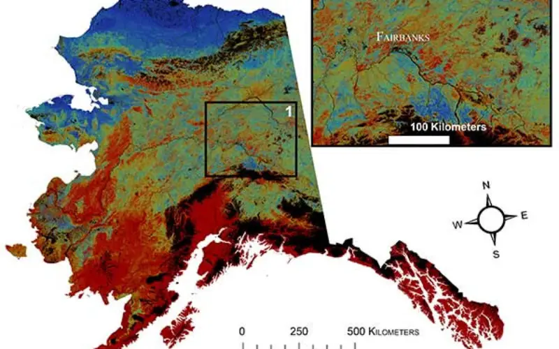
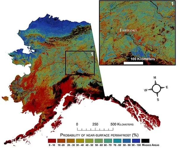
Using statistically modeled maps drawn from satellite data and other sources, U.S. Geological Survey scientists have projected that the near-surface permafrost that presently underlies 38 percent of boreal and arctic Alaska would be reduced by 16 to 24 percent by the end of the 21st century under widely accepted climate scenarios. Permafrost declines are more likely in central Alaska than northern Alaska.
Northern latitude tundra and boreal forests are experiencing an accelerated warming trend that is greater than in other parts of the world. This warming trend degrades permafrost, defined as ground that stays below freezing for at least two consecutive years. Some of the adverse impacts of melting permafrost are changing pathways of ground and surface water, interruptions of regional transportation, and the release to the atmosphere of previously stored carbon.
“A warming climate is affecting the Arctic in the most complex ways,” said Virginia Burkett, USGS Associate Director for Climate and Land Use Change. “Understanding the current distribution of permafrost and estimating where it is likely to disappear are key factors in predicting the future responses of northern ecosystems to climate change.”
In addition to developing maps of near-surface permafrost distributions, the researchers developed maps of maximum thaw depth, or active-layer depth, and provided uncertainty estimates. Future permafrost distribution probabilities, based on future climate scenarios produced by the Intergovernmental Panel on Climate Change (IPCC), were also estimated by the USGS scientists. Widely used IPCC climate scenarios anticipate varied levels of climate mitigation action by the global community.
These future projections of permafrost distribution, however, did not include other possible future disturbances in the future, such as wildland fires. In general, the results support concerns about permafrost carbon becoming available to decomposition and greenhouse gas emission.
The research has been published in Remote Sensing of Environment. The current near-surface permafrost map is available viaScienceBase.