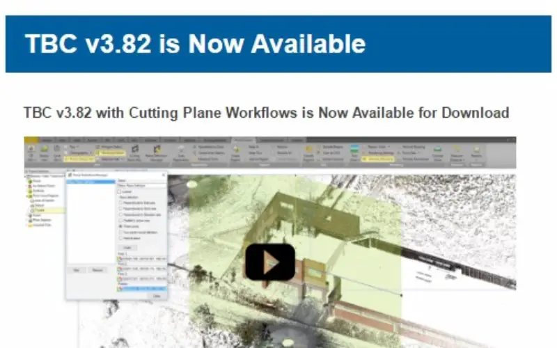
TBC v3.82 with Cutting Plane Workflows is Now Available for Download
 Trimble Business Center (TBC) is a geospatial office software that enables users to complete field-to-finish workflows efficiently and with confidence. In a single software package, users can edit, process, and analyze GNSS, total station, level, scanning, terrestrial, and aerial imaging data to achieve the most accurate horizontal and vertical results.
This update of TBC introduces new Cutting Plane workflows that provides users with the ability to draft and export in custom-defined views. Users can now more efficiently create façade, retaining wall or surface related CAD and drafting deliverables.
Following are the new features included in the various licensing options for this version of Trimble Business Center.
Scanning module
- Plane Definition Manager – Use the Plane Definition Manager to create and edit a plane that can be used to define a cutting plane view. You can create a plane using any of the following orientation options:
- Plane perpendicular to the East, North, or Elevation axis
- Plane parallel to the active view
- Vertical plane defined by two points
- Inclined plane defined by three points
- Vertical plane based on a horizontal orientation
- Create cutting plane views – Use the Cutting Plane View command to create a 2D view based on a user-defined plane to check any surface, point cloud, or 3D shell by “slicing” through the data. After creating a cutting plane view, you can do any of the following:
- Create CAD geometry (points, line work, text, and edits) on the cutting plane view for such things as building façades, bridge infrastructures, and so on.
- Print the cutting plane view in TBC using a dynaview in a sheet set.
- Select CAD geometry created on the cutting plane view and export it to other CAD applications using DXF/DWG exporters.
See “Licensed Features” in the online Help to determine which of these new features are available with your license and to read more information about them.
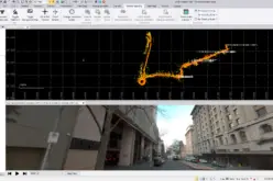
- Watch the short tutorial video on the Cutting Plane Feature
- Check out the Release Notes for a full list of features
- Download v3.82 from the TBC download page