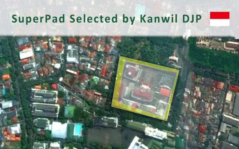
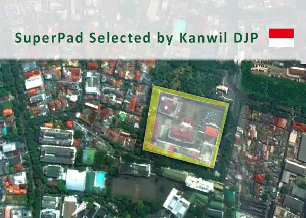
 With the assistance of Supergeo’s partner in Indonesia, DataScrip, the regional offices of Indonesian taxation authority recently selected SuperPad 3.3 as the mobile GIS software for spatial data collection. Under the Ministry of Finance, the Directorate General of Taxes (DGT) is the national taxation administration of Indonesia, which the core mission includes researching, implementing, monitoring, and evaluating the tax policy. Today, DGT has more than 32,000 employees and over 500 local offices spread across the whole country, which ensures the tax revenue can meet the increasing government budget of Indonesia.
To collect taxes according to the law and the real condition is the duty of tax authorities. Among all kinds of taxes, the taxes related to real estate generally constitute a critical part of the national tax revenue, such as the property tax and transfer tax. These taxes are often collected according to the size and location of the land. Therefore, to avoid errors in tax information, the officials need proper mobile GIS software to check the condition on-site. Equipped with basic and advanced GIS functions, SuperPad is the ideal choice to execute this task. For example, the field inspectors can use online map services in WMS, WMTS, and WFS formats to find wanted houses rapidly. Then the waypoint function can guide users to these objects with ease. After inspection, the data can be instantly updated by using WFST or connecting to SuperGIS Server, clarifying the disputes. Other than this application, the full-function SuperPad has many powerful features waiting for you to discover.
Learn more with the webinar recording of SuperPad 10:
https://www.youtube.com/watch?v=TSjbFeHlNC0
Download the free trial of SuperPad 10:
http://www.supergeotek.com/download_6_mobile.aspx