
Tag "Webinar"

Volumetric Computation Workflows with Trimble Business Center
TBC Power Hour Webinar Series Volumetric Computation Workflows with Trimble Business Center August 26, 2015 Surface creation and volume computation in Trimble Business Center enables you to efficiently manage, inspect

Blue Marble Webcast: Attribute Management in Global Mapper
Blue Marble Webcasts: Attribute Management in Global Mapper August 25, 2015 No Registration Required Synonymous with the “I” in GIS, attribution is the data associated with features that are spatially

Satellite Remote Sensing of Particulate Matter Air Quality: Data, Tools, Methods and Applications
Satellite Remote Sensing of Particulate Matter Air Quality: Data, Tools, Methods and Applications (aka AOD-PM) October 1 – October 29, 2015 5 webinars: one hour per week Every Thursday 11:30

Extend Microstation CAD Designs to Mobile Users with TerraGo Edge
Live Webinar: CAD Data In the Palm of Your Hand: Extend Bentley Microstation CAD Designs to Mobile Users with TerraGo Edge August 4, 2015, 12:00PM – 12:30PM (ET) More and more CAD users
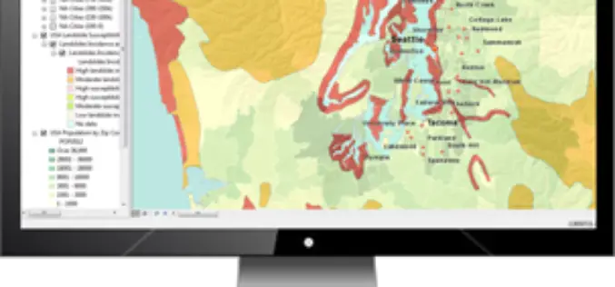
Increase the Return on Your GIS Investment with GIS-Lite Applications
Increase the Return on Your GIS Investment with GIS-Lite Applications July 14, 2015 12:00-12:30 PM ET Deliver self-contained, interactive maps and lightweight GIS applications available to all end users with

USAID Learning Lab webinar: Going Geospatial with Impact Evaluations
Researchers at AidData have employed cutting-edge geospatial impact evaluation (GIE) methodologies to create new cost and time efficient ways to measure programmatic impact. The AidData Center for Development Policy is a
Time to Next SuperGIS Series
Have you ever tried to transform your traditional static map into a living, dynamic map with time dimension? This October, Supergeo is going to formally launch SuperGIS Desktop 10. There
Webinar: Getting Started with Global Mapper
Getting Started with Global Mapper May 28, 2015 In this hour-long video presentation, we provide guidance and advice for new users of Starting with the installation and registration process, we
Webinar: Getting Started with Geographic Calculator 2015
Getting Started with Geographic Calculator 2015 April 10, 2015 This Geographic Calculator session is geared toward new users that are just beginning to learn their way around the Geographic Calculator.

Webinar – A New Standard: Commercial Geiger-mode LIDAR
A New Standard: Commercial Geiger-mode LIDAR Tue, Mar 24, 2015 10:30 PM – 11:30 PM IST (Show in My Time Zone) Harris Corporation has developed the first commercially-available Geiger-mode LiDAR
