
Tag "VIIRS"
GIS
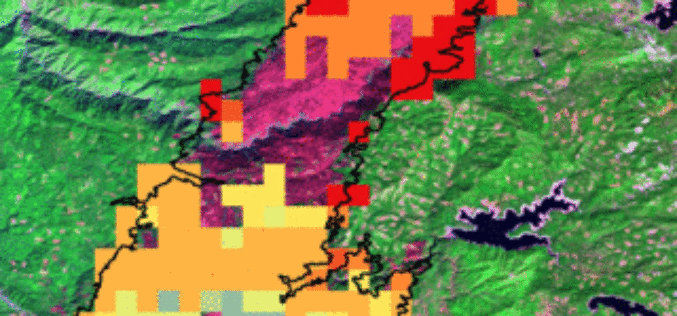
Battling Wildfires from Space: NASA Adds to Firefighters’ Toolkit
U.S. firefighters battling wildfires this year will get a clearer view of these threats with new NASA-funded satellite-based tools to better detect fires nationwide and predict their behavior. The new

GIS
USGS-NASA Award Recognizes Innovations in Earth Observation
A pioneer in mapping global land cover change and the team behind the United States’ most advanced land surface mapping satellite have both been honored with the 2014 William T. Pecora
