
Tag "Unmanned Aerial Vehicles"
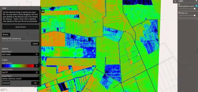
Hexagon Geospatial Launches Vegetation Health Smart M.Apps
Hexagon Smart M.Apps Help Pinpoint Where Crops Need Attention Hexagon Geospatial officially released seven different Vegetation Health Hexagon Smart M.Apps which make use of remote sensing algorithms to identify plant
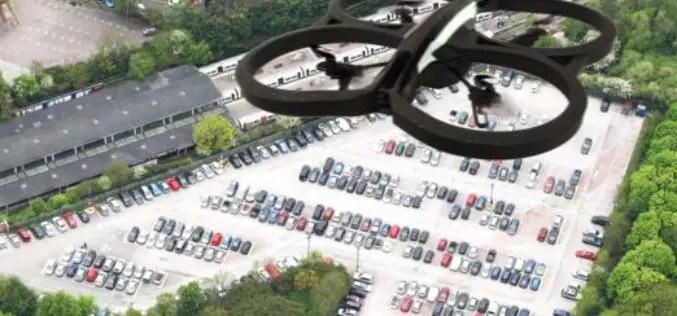
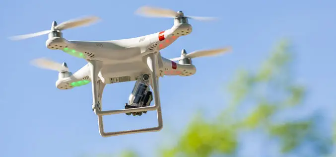
Drones Helping to Conduct High-Resolution Remote Sensing
New York: Earth and environmental scientists are relying on affordable advanced technological drones to conduct long-term high-resolution experiments at a much lower cost than using aircraft or satellites. Unmanned Aerial Vehicles

NHAI Signs MoU with ISRO and NECTAR for Use of Spatial Technology for Monitoring and Managing National Highway
NHAI has signed Memorandum of Understanding with National Remote Sensing Centre (NRSC) under Indian Space Research Organization (ISRO) and North East Centre for Technology Application and Research (NECTAR) for use
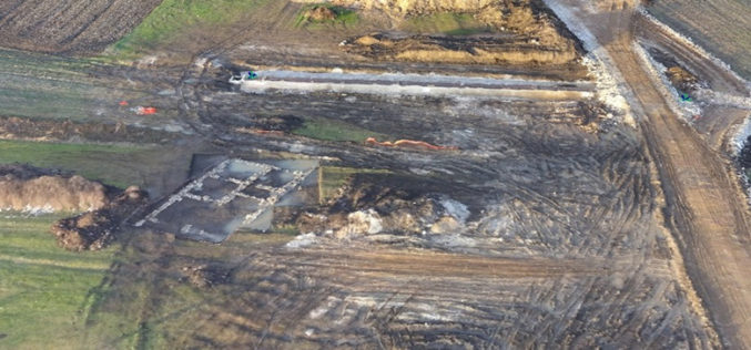
World Bank Has Chosen UAV for Innovative Local Mapping
The World Bank is implementing a $12 million Real Estate and Cadastre Project to assist the government in producing a national cadastre system and geospatial data infrastructure. The team has
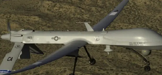
New Technique to Help Drones Manoeuvre Safely in Mountains
Beijing – Scientists have developed a new technology that can allow unmanned aerial vehicles (UAV) to manoeuvre safely in plateau mountain regions. The UAVs designed for plateau missions are usually
Guidelines for Civilian Use of Drones on Anvil
New Delhi – India: There are “serious issues” with drone operations and the government is in the process of drafting guidelines for its civilian use. As part of this process,
DARPA to Develop Ultracompact LIDAR Systems
Defence Advanced Research Projects Agency (DARPA) lighter and cheaper technology to replace a large, heavy and expensive light detection and ranging (LIDAR) systems. The primary goal of the newly-announced Modular Optical Aperture Building

PhD Candidate Unmanned Aerial Vehicles (UAVs) for Cadastral Mapping
The University of Twente. We stand for life sciences and technology. High tech and human touch. Education and research that matter. New technology which drives change, innovation and progress in
Drone Bombings in the Federally Administered Tribal Areas: Public Remote Sensing Applications for Security Monitoring
Drone bombing, as a US defense strategy in Pakistan, began under the George W. Bush administration as part of the “US War on Terrorism” and aimed to defeat Taliban and
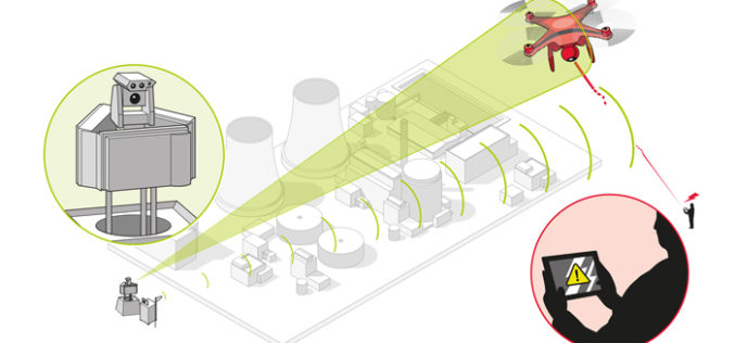
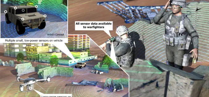
Counter-UAV System from Airbus Defence and Space Protects Large Installations and Events from Illicit Intrusion
Sensor Data Fusion offers countermeasures against small drones Airbus Defence and Space has developed a Counter-UAV System which detects illicit intrusions of Unmanned Aerial Vehicles (UAVs) over critical areas at
