
Tag "unmanned aerial vehicle"
Create Photogrammetric Point Cloud Using Global Mapper Pixels-to-Points Tool
Global Mapper LiDAR Module v.19 Now Available with Pixels-to-Points™ Tool for Photogrammetric Point Cloud Creation November 29, 2017 – Blue Marble Geographics is pleased to announce the release of version 19 of the
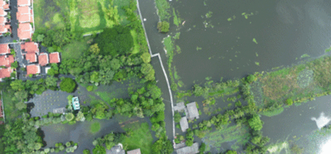
Tamil Nadu Government Started UAV Survey to Map Flood-Prone Areas
According to recent news by The Hindu, the Tamil Nadu Government in association with Anna University has launched an Unmanned Aerial Vehicle (UAV) for Photogrammetric mapping of water resources in Cuddalore
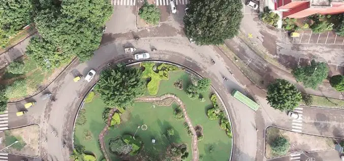
Central Government Directs Chandigarh to Complete Aerial Mapping Project Within 1 Year
According to recent news by The Indian Express, The Union government on has directed the Chandigarh administration to complete the project of digitization of land records in the city within the
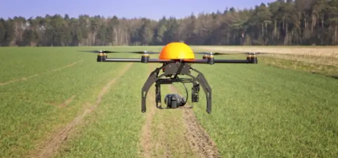
Govt. to Use Drones Based Technologies in Farming Sector
During the Monsoon session of Indian Parliament, the Minister of State in the Ministry of Agriculture and Farmers Welfare, Shri Sudarshan Bhagat had informed the house that soon drone or
Agricultural Drone Market Size Anticipated to Achieve Over USD 555 Million at a CAGR of 21% from 2016 to 2023
According to a market research report published by Global Market Insights, the agricultural drones market size was valued over USD 135 million in 2015 and is anticipated to achieve over
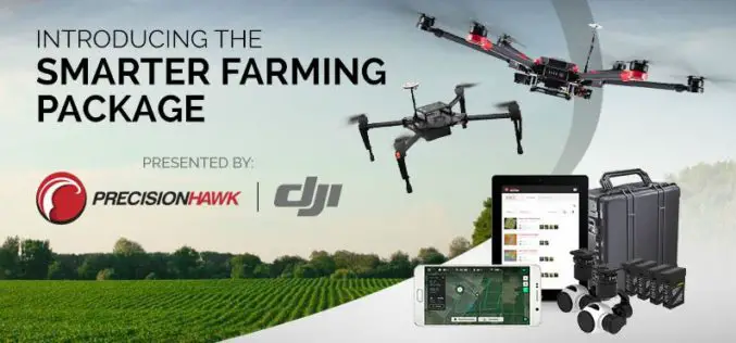
PrecisionHawk And DJI Deliver Easy-To-Use Drone And Data Packages For Farmers
The pre-assembled package, which includes DJI’s hardware platform plus PrecisionHawk’s flight and analytics software, is seamlessly integrated to provide a cost-effective and easy remote sensing tool for agriculture PrecisionHawk and

Putting UAVs to Work: Construction Firms Utilizing Unmanned Aerial Vehicles
Putting UAVs to Work: Construction Firms Utilizing Unmanned Aerial Vehicles Date: November 18, 2015 | 1:00 PM (EST) The fascination surrounding UAVs (or drones) is undeniable, and some of the
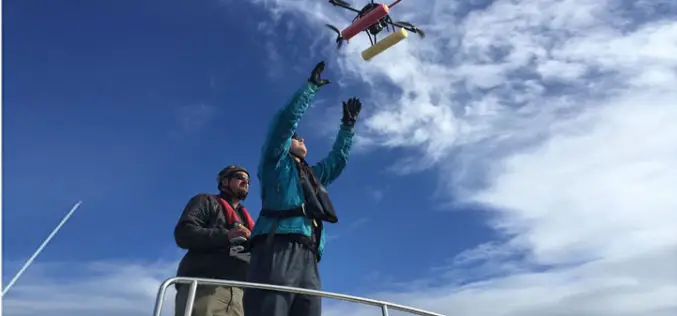
UAV to Study Killer Whales Health and Behavior
Unmanned aerial vehicle allows scientists to study killer whale health and reproduction while also offering a glimpse into the family life of these social animals John Durban is a marine
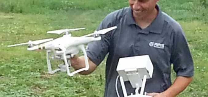
Drones to Access Crop Condition and Farming Possibilities
Drones in agriculture have transformed the way of capturing remotely sensed data and have proven their capability in many other domains. With the capability of acquiring high resolution data (spatial, spectral,
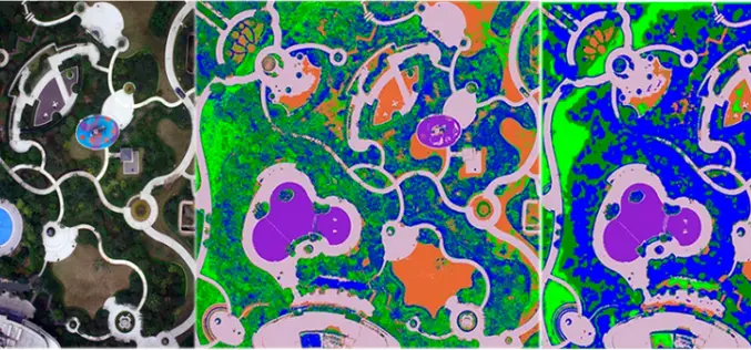
UAV Remote Sensing for Urban Vegetation Mapping
Vegetation plays an important role in urban environments from many prospects, i.e., alleviating urban heat island effect, maintaining ecological balance, protecting biodiversity and promoting quality of life. Urban vegetation mapping can be
