
Tag "United Nations"
Business
Humanitarian Technology: High-tech for Relief Workers
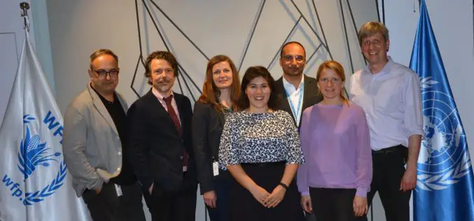
DLR supports the United Nations World Food Programme (WFP) through satellite-based risk mapping DLR supports the UN World Food Programme (WFP) in a special calendar to identify environmental risks recurring

GIS
Two UN Agencies Adopted Geospatial Technologies to Protect Cultural Heritage
Two United Nations agencies (UNOSAT and UNITAR) have signed an agreement to protect cultural and natural heritage sites by using the latest geospatial technologies, including a satellite imaging system. The
Remote Sensing
Remote Sensing Technology to Prevent Outbreak of Diseases
Feb. 16, 2015 – Satellites can help scientists follow parasites and viruses, and in some cases predict months ahead of time an outbreak of dengue fever or malaria, researchers said
