
Tag "UAS"
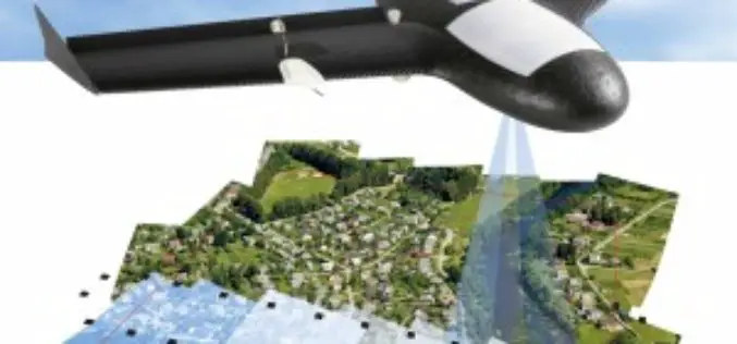
Trimble Sells its Unmanned Aircraft System Business to Delair-Tech
Strategic Alliances with Delair-Tech and Microdrones Expand UAS Platform Options While Leveraging Trimble Software and Data Solutions SUNNYVALE, Calif., Oct. 10, 2016—Trimble (NASDAQ: TRMB) announced today that Delair-Tech has acquired its
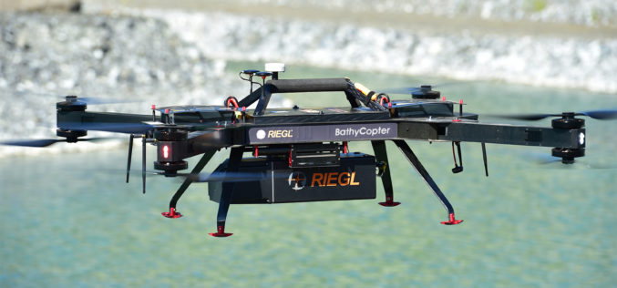
RIEGL with Broad and Impressive Product Range, New Products at Intergeo 2016
RIEGL uses the INTERGEO platform traditionally to give an insight and an overview on its comprehensive LiDAR sensors and systems product range. At booth C3.059 in hall A3, on the
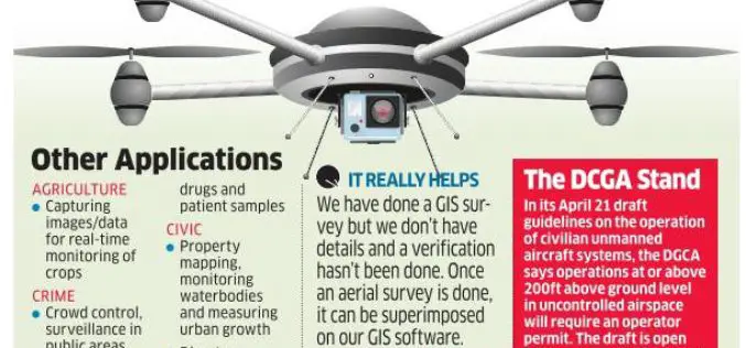
Chandigarh Begins UAV Based Aerial Survey of Properties
According to the recent news by The Indian Express, Chandigarh has become the first city in the country to conduct an aerial survey of properties using drones. The Chandigarh administration
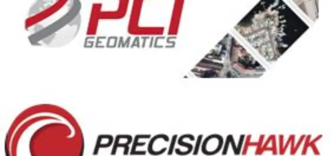
PCI Geomatics and PrecisionHawk Enter into Long Term Partnership
MARKHAM, Ontario, Canada—September 20, 2016: PCI Geomatics, a world-leading developer of remote sensing and photogrammetric software and systems, announced today it has entered into a long-term partnership with PrecisionHawk, a
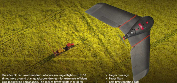
senseFly Ups The Agricultural Ante With Launch Of High Precision, Large Coverage eBee SQ Drone
This new drone is built for the Parrot Sequoia multispectral camera and can cover up to 10 times more ground than small quadcopter systems Cheseaux, Switzerland, August 31 — Swiss
UAV Industry Taking Off
A look around the UAS boom industry at interaerial SOLUTIONS Karlsruhe, Hamburg 25 July 2016 | The new sector for hardware and software manufacturers and service providers in the UAS

Icaros Releases 4.2.2 of OneButton UAS Image Processing Software
FAIRFAX, Virginia, USA – Icaros Inc., a leading provider of aerial imaging software, is pleased to announce Release 4.2.2 of OneButton. The release contains new features and improvements as well as
Bengaluru Civic Corporation to Use Drones for Mapping Property & Taxes
India-According to recent news, Bengaluru civic corporation is all set to use unmanned aerial systems (UAS), commonly known as drones, to map urban properties and property taxes. This could help the

Cardno Files U.S. Patent Application for UAS Remote Sensing Process
New patent application filing for Unmanned Aerial Systems UAS remote sensing technology workflow to support abandoned uranium assessment and cleanup. Cardno announced the filing with the U.S. Patent & Trademark Office

Commercial UAV Expo 2016 at Las Vegas
Commercial UAV Expo is North America’s leading trade show and conference for the commercial drone market, focusing on: Surveying & Mapping Civil Infrastructure Process, Power & Utilities Aggregates & Mining Construction Law
