
Tag "SuperGIS 3D Earth Server"
Managing Assets from Different Angles- SuperGIS 3D Earth Server
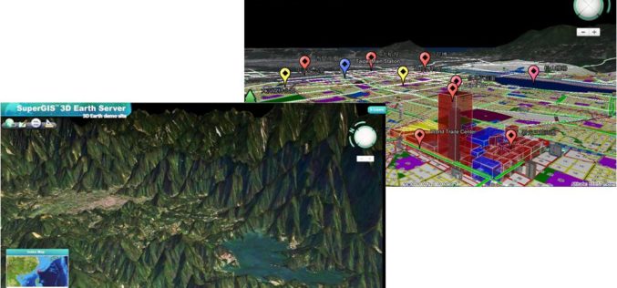
3D visualization is an important breakthrough in how geographic data could be displayed on the computer. Instead of the traditional 2D form, SuperGIS 3D Earth Server can easily present data
Underground Utilities and Traffic Applications in 3D
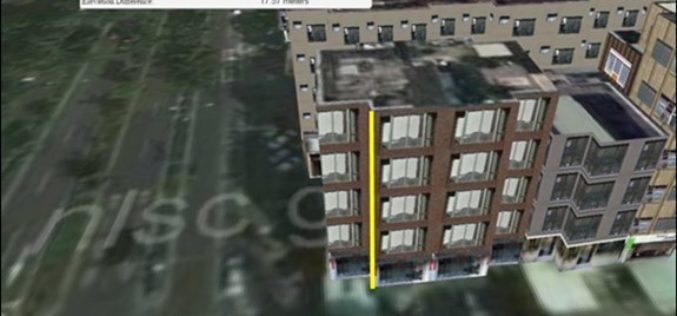
SuperGIS 3D Earth Server is now focusing on the development of underground utilities and traffic applications. The product not only provides the ability to visualize and manage underground utilities in
Smart City Solutions on 3D GIS Platform
Supergeo Technologies is going to bring GIS users a no-cost 3D GIS webinar to solve modern city management problems. The webinar will show how 3D GIS can be applied to

Webinar: Smart City Solutions with Interactive 3D GIS Technologies
Smart City Solutions with Interactive 3D GIS Technologies Feeling not enough about traditional 2D maps? With SuperGIS 3D Earth Server, you can see different features and explore spatial relations on
