
Tag "Sri Lanka"

GIS
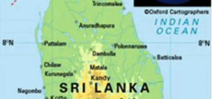
Sri Lanka Survey Department Released New Sri Lanka Maps
Colombo [Sri Lanka] , May 31, 2018 – After 18 years, the Sri Lanka Survey Department (SLSD), the national surveying and mapping organization under the Ministry of Land and Land
GIS
Sri Lanka Setting Up National Spatial Data Infrastructure for Development
According to recent news, Sri Lanka’s Survey Department is setting up national spatial data infrastructure where spatial or location-based information can be better used and shared by both the government
