
Tag "Spatial data"

The Knowledge Hub for Spatial & Unstructured Data Launches on ProductHunt
On August 21, Unstruk’s flagship product, the Unstruk Data Portal, launched on ProductHunt. Unstruk is the first data portal designed as a knowledge hub for geo-enabled businesses. As part of
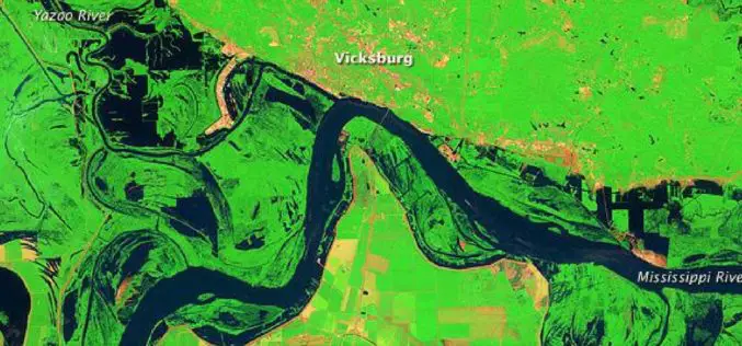
Open Source Satellite Images in Flood Monitoring. Do We Need a Liberal Spatial Data Policy During Disasters…?
Contributed by: The predictions of the meteorological department regarding the onset of natural disasters and the actual incidences of natural calamities were failed to converge in most of the situations
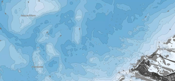
ADSIC Contracts Proteus FZC to Provide TCarta Marine Spatial Data Package for Arabian Gulf
Abu Dhabi, 20th July 2017 – Proteus FZC, Middle East’s leading provider of remote sensing services has been contracted by the Abu Dhabi Systems & Information Center (ADSIC) to provide 2m

OGC Invites You to the Arctic Spatial Data Pilot Demonstration
23 February 2017: The Open Geospatial Consortium (OGC®) invites members and the public to attend the OGC Arctic Spatial Data Pilot demonstration online or in-person on the 15th March 2017

BRICS Nations to Share Data from Remote Sensing Satellites
IANS – Bengaluru: The five-nation group of BRICS will share spatial data on natural resources from their remote-sensing satellites for utilizing space assets optimally, said a top Indian space official on

Jesi, Historic City in Italy Uses SuperSurv to Collect Spatial Data
Supergeo Technologies, the worldwide GIS software and solution provider is pleased to announce that Jesi City selects SuperSurv to collect spatial data. Located in central Italy, Marche Region, Jesi is
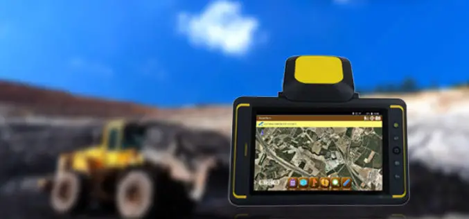
Indonesian Mining Company Adaro Selects SuperSurv
Supergeo is glad to announce that PT Adaro Indonesia has selected SuperSurv to assist spatial data collection in the field. Founded in 1982, Jakarta, PT Adaro Indonesia is the core

Leica Geosystems Partners with Geolantis to Integrate a Cloud Based Utility Mapping Platform
(Heerbrugg, Switzerland; Klagenfurt, Austria, 8 February 2017) – Leica Geosystems, global leader of measurement and digital reality capture technologies, has teamed with Geolantis, a provider and developer of the best-in-class
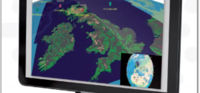
ENVITIA Launches MapLink Pro 10.0
ENVITIA is proud to announce the release of the next generation of MapLink Pro centered around the theme of speed. Speed in visualization of dynamic data, speed in the manipulation
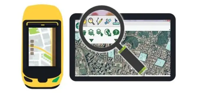
SuperPad 10 – A Revolution in Spatial Data Collection
Supergeo Technologies Inc. is going to unveil a brand-new version of its one of most popular GIS software in field surveying – SuperPad 10 before the end of January 2017.
