
Tag "Shapefile"
Business
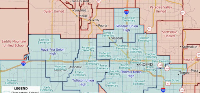
Maptitude 2020 U.S. School Districts Data Available as KML, GeoJSON, Shapefile
The Maptitude 2020 U.S. School Districts Data is available and includes three nationwide map layers of elementary, secondary, and unified school districts.

Software
Vector based Spatial Analysis using TdhGIS
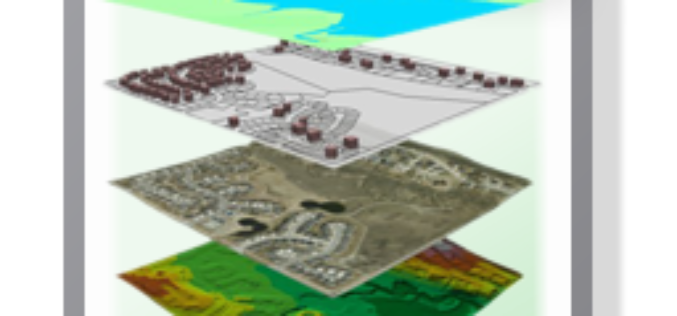
TdhGIS is an open source spatial analysis tool data based on vector geometric data. TdhGIS has an open database structure and the ability to import and export common file formats, including
GIS
Understanding Shapefile (.shp) File Format
Shapefile is a vector data format for storing geographical data and associated attribute information. It is developed and regulated by Esri as open specification for data interoperability among Esri and other GIS software products. Shapefile
