
Tag "SAR"
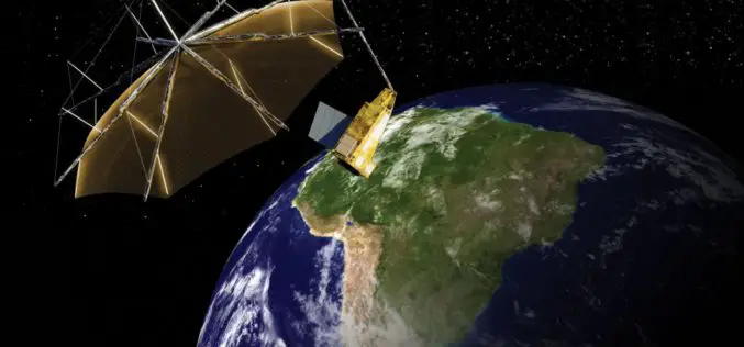
Airbus Defence and Space to Build Biomass – the European Space Agency’s Forest Mission
1st P-band radar in space will measure the amount of biomass and carbon locked in the world’s forests and how this changes over time Biomass satellite will provide support to

PCI Geomatics Releases GXL 2016
MARKHAM, Ontario, Canada – March 1, 2016: PCI Geomatics, a world leading developer of remote sensing and photogrammetric software and systems, announced today the release of its GeoImaging Accelerator (GXL)
Radar Images to Study Rainforest
Dense rainforest, a twin-engine turbo-prop aircraft and advanced radar technology – researchers from the German Aerospace Center (Deutsches Zentrum für Luft- und Raumfahrt; DLR) are performing numerous measurement flights from

Combining SAR and Optical Imagery for Mapping and Change Detection
PCI Geomatica Webinar: Combining SAR and Optical Imagery for Mapping and Change Detection February 25, 2016 | 4:00 AM EST – 9:00 AM (GMT) | 2:00 PM EST – 7:00 PM (GMT) PCI

PCI Geomatics to Hold User Group Meeting in Ottawa, Canada
PCI Geomatics, a world leading developer of remote sensing and photogrammetric software and systems, will be holding a User Group Meeting in Ottawa, Canada on February 4th, 2016. The free
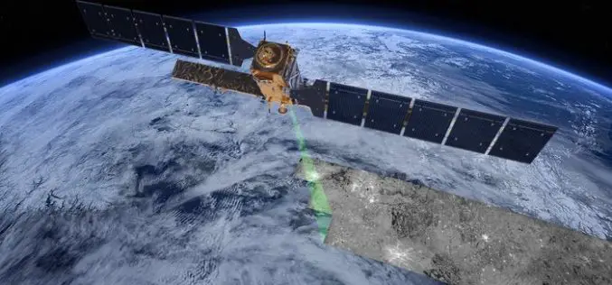
The “Radar Vision” Goes On – Two More Sentinel-1 Satellites
– Airbus Defence and Space signs €143M contract with Thales Alenia Space – New Sentinel instruments ensure services for Copernicus beyond 2029 Airbus Defence and Space, the world’s second-largest space

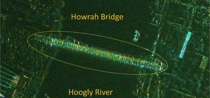
TerraSAR-X and RADARSAT-2 to Improve Monitoring Over North Canadian Region
– The German Aerospace Center (DLR) has awarded Airbus Defence and Space with two research projects to enhance Emergency Preparedness and Safety of Operations in collaboration with Canadian partners –
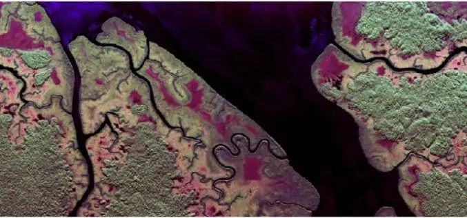
India’s RISAT-1 High Resolution SpotLight (HRS) Polarimetric Image
Indian Space Research Organization’s (ISRO) Radar Satellite-1 (RISAT-1) is a state of the art Microwave Remote Sensing Satellite carrying a Synthetic Aperture Radar (SAR) Payload operating in C-band (5.35 GHz), which
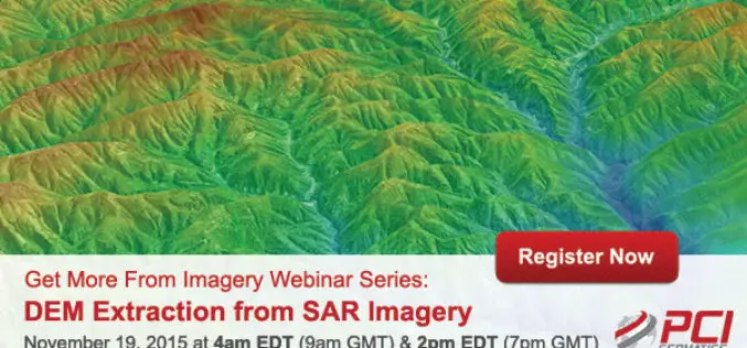
Webinar Series: DEM Extraction from SAR Imagery
Get More From Imagery Webinar Series: DEM Extraction from SAR Imagery Nov. 19, 2015 at 4am EDT (9am GMT) | Nov. 19, 2015 at 2pm EDT (7pm GMT) PCI Geomatics is the
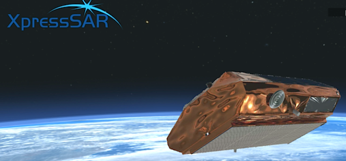
XpressSAR: High Revisit, High Resolution, All Weather SAR Satellite Constellation
XpressSAR Inc. is an American owned and operated company. XpressSAR will be a constellation of four small Synthetic Aperture Radar (SAR satellites with an average revisit rate of less than 4
