
Tag "remote sensing"
Tamil Nadu Pushes Agriculture Budget for Use of AI, Remote Sensing, and Drones
The Tamil Nadu (India) Agriculture State Budget for 2022-23 emphasizes the use of technology such as IoT, Artificial Intelligence, Drones, and Remote Sensing, as well as a role for industries
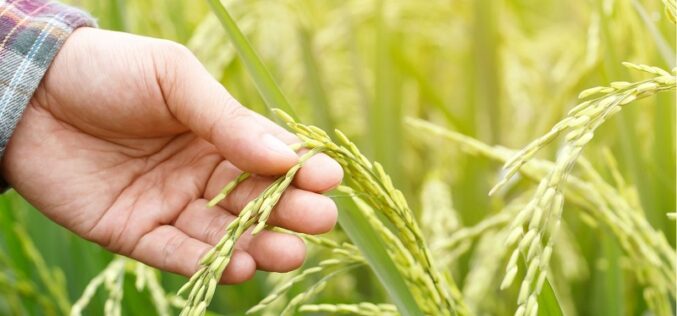
How Geospatial Technologies Are Bringing Another Green Revolution In India
By integrating spatial information with data on crops, irrigation, weather, and soil characteristics, researchers can develop models that help farmers optimize their production. In this way, geospatial technologies are bringing another green revolution in India.

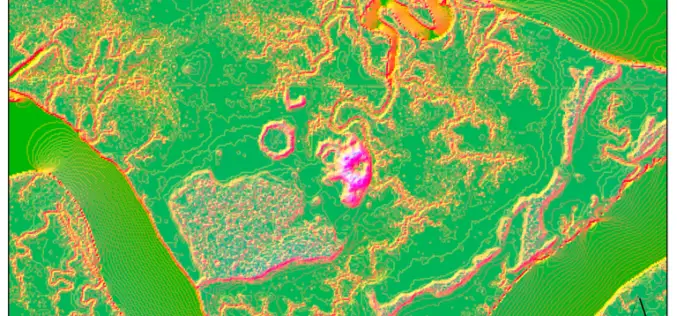
Remote Sensing and GIS for Sustainable Forest Management
The data needed for forest management include wood procurement potential, forest cover, growing stock volume, and biomass carbon balance.
Machine Learning to Discover Shell Rings Using Remote Sensing Data
Deep in the dense coastal forests and marshes of the American Southeast lie shell rings and shell mounds left by Indigenous people 3,000 to 5,000 years ago. Now an international

BRICS Space Agencies Signed Agreement for Cooperation in Remote Sensing Satellite Data Sharing
Under India’s BRICS Chairship, the BRICS Space Agencies Heads have signed an agreement for cooperation in remote sensing satellite data sharing on August 18, 2021, in the presence of Mr.
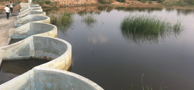
How Remote Sensing and GIS are Used to Build Check Dams Under MGNREGA?
Remote Sensing and GIS are useful to identify and choose a suitable site or probable locations for check dams. This helps to ensure best site for check dam’s construction and to prevent unscientific construction.

Technology Connecting Farmers to a Friend at High Heavens – A Talk with Ankur Omar, Founder of Farmonaut
GIS Resources had a questionnaire with Ankur Omar, Founder of Farmonaut. He has shared some interesting insights about Farmonaut.
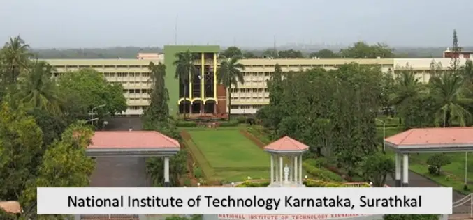
NIT Karnataka is Offering Free Course on Machine and Deep Learning for Remote Sensing Applications
NIT Karnataka is Offering is offering two weeks online summer school on Machine and Deep Learning for Remote Sensing Applications.

USGS Developed High-Resolution Imagery of Coastal Wetlands to Identify Vulnerable Marshes across the US
Scientist have used a combination of remote sensing and satellite technologies to identify vulnerable marshes across the US.
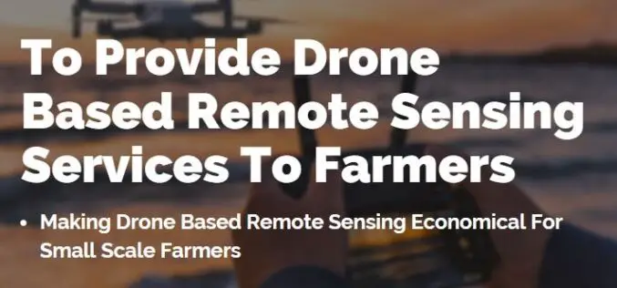
Farmonaut Partners With GarudaUAV to Provide Drone-Based Remote Sensing Technologies for Farming in India
Farmonaut has come together with a leading Indian drone services company, GarudaUAV, engaged in aerial data acquisition, analysis, and reporting for the promotion of drone-based remote sensing technologies for farming
