
Tag "Red Cross Map Journal"
GIS
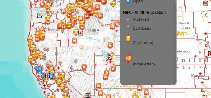
Interactive Tool to Access and Track Live, Wildfire Information
Free, Public Tool Consolidates Information to Provide Up-to-Date Disaster Snapshot WASHINGTON, D.C., Thursday, Sept. 17, 2015 — The American Red Cross has launched an interactive online map that consolidates multiple
