
Tag "Photogrammetry"
3D Stereo, Point Clouds, UAS, Virtual Reality and City Solar Solutions on Exhibit at INTERGEO
Anchorage, Alaska, USA. September 18, 2017 – Join DAT/EM Systems International® with co-exhibitors DAT/EM Systems Europe and RhinoTerrain™ SARL at INTERGEO from September 26-28 in Berlin, Germany. Booth visitors (C2.026 in Hall

Terra Drone Dedicated Image Processing Software Terra Mapper Begins Sales of Its Cloud Version and Desktop Version at the Same Time
Terra Drone dedicated image processing software “Terra Mapper” begins sales!! ~Cloud version and desktop version release at the same time~ Terra Drone Co., Ltd. (Head Office: Shibuya-ku, Tokyo, CEO: Tokushige
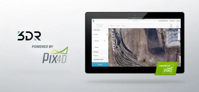
3DR Site Scan Processing Now Powered by Pix4D
Site Scan customers can now create more accurate, detailed data products than ever before 3DR, makers of Site Scan, one of the leading drone data platform for engineering and construction,

Digital Image Evaluation Heading for New Markets
Karlsruhe/Berlin, 19, June 2017 | Digitalisation and the ubiquitous availability of images have resulted in a new golden age for photogrammetry! The driving force behind the processes is science, while
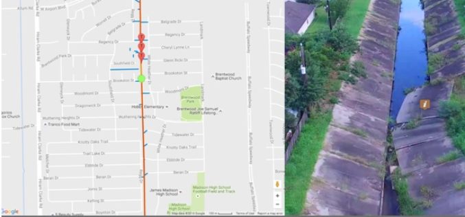
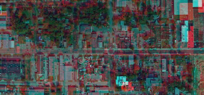
Georeferenced Video, an Alternative to Aerial Photogrammetry
Contributed By:- According to the Texas Comptroller, the state of Texas spends nearly $6 million per year on public infrastructure, including highways and other repairs and maintenance activities. Local spending

Trumbull Unmanned Using SimActive for Emergency Response
Montreal, Canada, April 18th, 2017 – SimActive Inc., a world-leading developer of photogrammetry software, is pleased to announce that Trumbull Unmanned is using Correlator3D™ as part of their emergency response
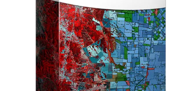
PCI Geomatics Releases Geomatica 2017, Featuring Geomatica Object Analyst and Geomatica InSAR Modules
MARKHAM, Ontario, Canada — April 11, 2017: PCI Geomatics, a world leading developer of remote sensing and photogrammetric software and systems, announced today the release of Geomatica 2017 – the
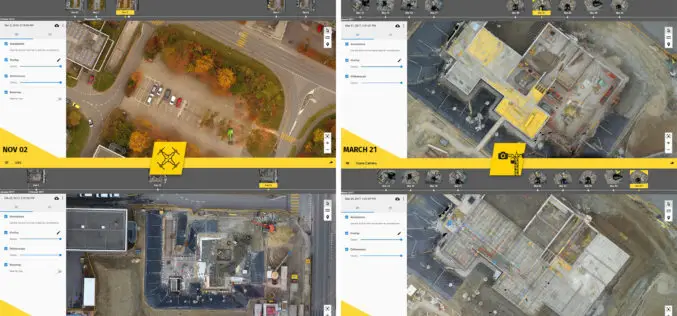
6 Major Construction Companies Adopt New Bim Monitoring Solution
Construction professionals understand that daily visualization of a job site helps minimize construction delays, prevent clashes between as-built and as design, eliminate the need for rework, facilitate stakeholder communication and
Evolving Photogrammetry from Single-Pair Stereo to Multi-View rayCloud
Pix4Dmapper Pro’s rayCloud is a full-3D interface which allows visualization and analysis based on multi-ray intersections from 2D images. This provides a more accurate and consistent solution than extracting 3D
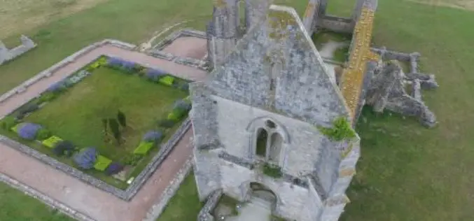
Leveraging 3D Modeling and Printing Skills as a Service: Mapping the Abbey of Chateliers and Church of Ars-en-Ré
In order to explore how to better expand and improve their services, French photography and photogrammetry-based service provider Unautregard teamed up with Planète Sports &Loisirs and 3D Arcwest, to capture,
