
Tag "Open Source GIS"
GRASS GIS 7.2.0 Released
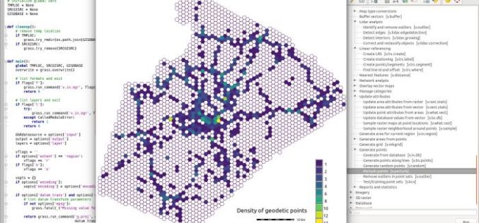
After almost two years of development the new stable major release GRASS GIS 7.2.0 is available. It provides more than 1950 stability fixes and manual improvements compared to the former

Course on GIS Analysis with QGIS
GIS Analysis with QGIS 6-10 February 2017 QGIS is the most popular and reliable Open Source GIS in the world. QGIS is currently used in Universities, Public Facilities and private
GRASS GIS 7.0.3RC1 Released
The new GRASS GIS 7.0.3RC1 release provides 160 stability fixes and manual improvements. Of particular interest is the new winGRASS 64 bit support. About GRASS GIS 7: Its graphical user interface supports

UN Special Session program at FOSS4G Seoul 2015
The FOSS4G Seoul 2015 Organizing Committee is pleased to announce the final program of “Open Source GIS for UN and Developing Countries” Special Session at FOSS4G Seoul 2015. This session
National Conference on Open source GIS: Opportunities and Challenges
The last 25 years have seen dramatic developments in GIS technology and geographical information science. An important challenge for the GIS community is finding ways of taking advantage of latest

FOSS4G Seoul 2015 Committee signs MOU with Smart Geospatial Expo 2015 Organizing Committee
FOSS4G Seoul 2015 Committee is pleased to announce to sign Memorandum of Understanding (MOU) with Smart Geospatial Expo Organizing Committee to closely cooperate FOSS4G Seoul 2015 and SmartGeo Expo 2015
