
Tag "NASA"
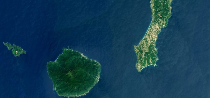
Landsat 8 Eyes Japan, GPM Launch Site
This Landsat 8 satellite image of some southern Japanese islands includes Tanegashima (far right), from where the Global Precipitation Measurement, or GPM, mission’s Core Observatory is scheduled to blast into
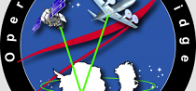
NASA’s Operation IceBridge: To Monitor Antarctic and Arctic ice
NASA’s Operation IceBridge, an airborne mission started in 2009 to monitor Antarctic and Arctic ice. IceBridge is the largest airborne survey of Earth’s polar ice ever flown and will use airborne
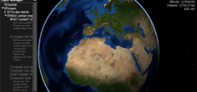
Webinar: NASA World Wind Virtual Globe Technology
Webinar: NASA World Wind Virtual Globe Technology on February 13, 2014 The ICA-OSGeo Lab Network and MundoGEO will be conducting the fourth webinar of the “Open Geospatial Science & Applications” webinar series . The webinars
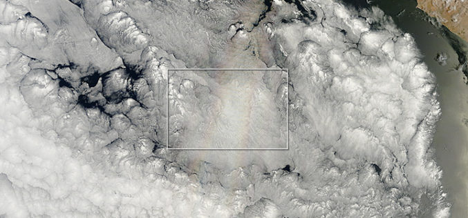
The Glory of the New Year
On December 21, 2013—the summer or winter solstice, depending on your hemisphere—the Moderate Resolution Imaging Spectroradiometer (MODIS) on NASA’s Terra satellite acquired this natural-color image. Off the Pacific coast of Peru, a

Dudley B. Chelton Awarded as 2013 Pecora Award
The US Department of the Interior’s U.S. Geological Survey (USGS) and NASA has presented the 2013 William T. Pecora Award for achievement in Earth remote sensing to Dudley B. Chelton,
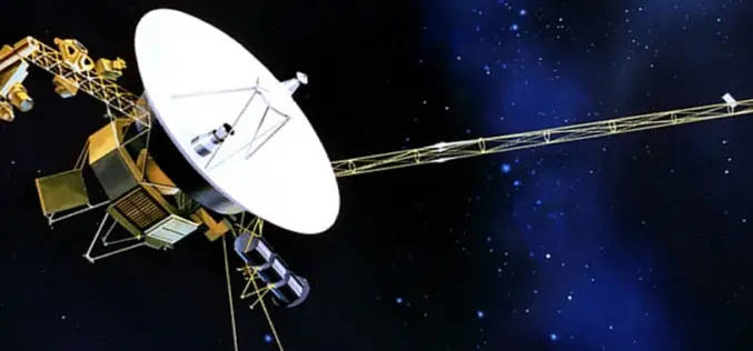
NASA’s Voyager 1 First To Venture Into Interstellar Space
Washington: US space agency NASA said Thursday that its Voyager 1 spacecraft has become the first man-made object to venture into interstellar space. New and “unexpected” data indicated 36 years
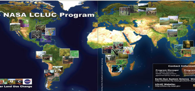
NASA Land-Cover and Land-Use Change (LCLUC) Program
Today I would like to take you for a short tour of Land-Cover and Land-Use Change (LCLUC) Program of NASA. LCLUC is an interdisciplinary science program in the Earth Science Division of
