
Tag "Mobile Mapping"
Applanix Introduces Next-Generation OEM Solution for Mobile Mapping Applications Using GNSS-Inertial Technology
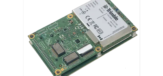
Hardware and Software Platform Provides Unparalleled Accuracy and Performance for Systems Integrators Applanix, a Trimble Company (NASDAQ: TRMB), announced today the Trimble® AP+ Land GNSS-inertial OEM solution for accurate and

NV5 Geospatial Expands Mobile Mapping Fleet with State-of-the-Art RIEGL VMX-2HA Platform
RIEGL today announced that NV5 Geospatial, North America’s largest geospatial data firm, has acquired the new RIEGL VMX-2HA dual scanner mobile mapping system. The solution will initially deploy in utility

Trimble MX50 LiDAR System Expands Mobile Mapping Portfolio
Vehicle-Mounted System Enables Data Capture for Road Agencies and Local Governments Trimble has introduced the Trimble® MX50 mobile mapping system for asset management and mapping—a new addition to its established

Trimble Webinar: Mobile Mapping Workflows for Corridor Deliverables in TBC
The webinar will dive into the Mobile Mapping workflows available in TBC to process data using registration tools and then prepare that data for final corridor deliverables.
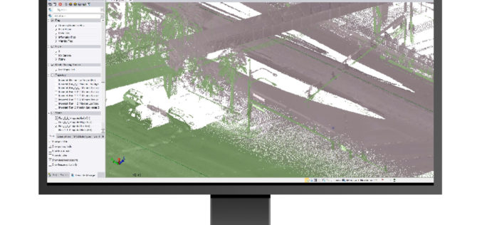
What’s New in the Trimble Business Center v5.31
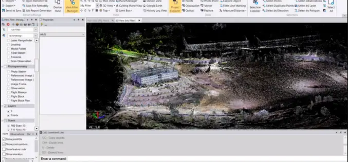
Trimble Geospatial has recently announced the release of its flagship product Trimble Business Center v5.31 (TBC v5.31). Trimble Business Center is a back-office software enabling surveyors and geospatial professionals
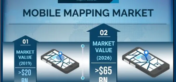
Mobile Mapping Market to Witness Steady Growth of 17% During 2020-2026
According to a recent study from market research firm Global Market Insights, the mobile mapping market is set to grow from its current market value of more than $20 billion
Trimble Business Center (TBC) v5.3 is Now Available, So What’s New in TBC v5.30?
Trimble has announced the release of version 5.30 of Trimble Business Center (TBC v5.3) office software that enables surveyors and geospatial professionals to simplify the creation of cadastral, GIS, infrastructure inspection and tunnelling deliverables.
Trimble Webinar: What’s new in TBC 5.20 Mobile Mapping Module
Mobile Mapping Webinar: What’s new in TBC 5.20 Mobile Mapping Module Join the webinar on Tuesday 29th of January to explore the new capabilities in our Mobile Mapping module in

New Indoor Mobile Mapping System from NavVis Marks Breakthrough in Data Quality
NavVis M6 is a next-generation indoor mobile mapping system designed to overcome the scale and quality constraints of today’s reality capture technology April 18, 2018 – NavVis, a global leader in mobile
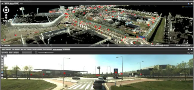
Orbit GT Releases 3D Mapping Feature Extraction Pro V18.0.6
March 19, 2018 – “We’re proud to announce that, with this release, our full portfolio has now been upgraded to version 18”, says Peter Bonne, CEO of Orbit GT. “As
