
Tag "mapping"
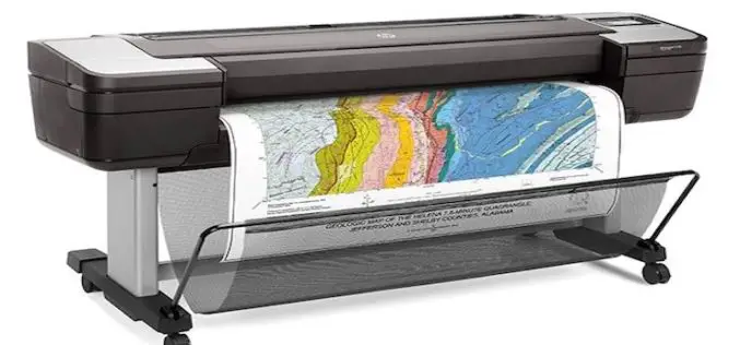
HP Launches World’s Most Secure Large Format Printers for GIS Mapping
Adds HP Secure Boot and Whitelisting to HP DesignJet T1700 printers for enterprise and government. Jan. 30, 2018 – HP Inc. introduced HP DesignJet T1700 printers, next-generation 44-inch solutions for CAD and geographic

Satellite Data for Spatial Mapping of Marine Fisheries
Kochi, India – According to recent news reported by The Hindu, The Central Marine Fisheries Research Institute (CMFRI) will make use of remote sensing satellite data for the spatial mapping of

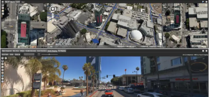
GeoSLAM Celebrates Five Years in Business with New HQ, Record Growth
Nottinghamshire, U.K. 13 December 2017 – Leading 3D mobile mapping technology specialist, GeoSLAM, is on track to achieve its growth ambitions in 2018 after relocating to new UK headquarters. The Nottinghamshire-based

Qatar to Develop 4D Mapping Technology to Boost Urban Planning and Other Applications
According to recent news by The Peninsula, the Center for Geographic Information Systems(CGIS) under the Ministry of Municipality and Environment is working on a cutting-edge technology to develop 4D mapping features

Seoul to Get New 3D Map
According to recent news by The Korea Times, the Seoul Metropolitan Government will launch a 3D mapping project for 11 of the city’s hotspots, including City Hall, Lotte World Mall and
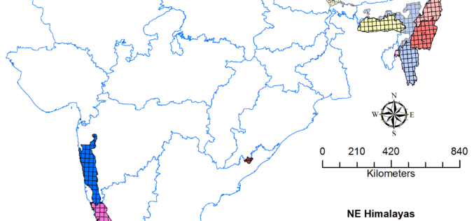
Geological Survey of India to Complete Landslide Susceptibility Mapping in 2018
Kolkata, December 6, 2017 (IANS) : The Geological Survey of India (GSI) is set to complete generation of Landslide Susceptibility Maps – covering an area of 1.71 lakh sq km
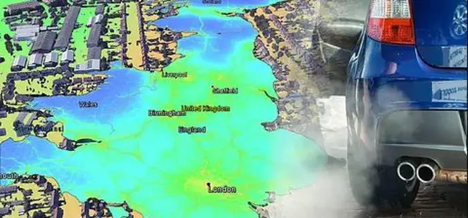
EarthSense Release New Nationwide Map of Air Pollution. MappAir
November 29, 2017 – EarthSense Systems has published MappAir® – the first ever high resolution nationwide map of air pollution. Combining data from satellites and its own air quality monitoring sensors
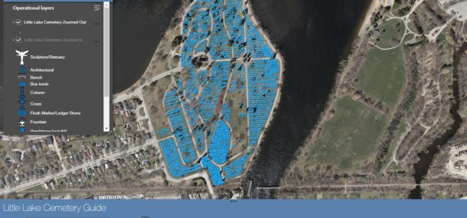
City of Peterborough: New Little Lake Cemetery Launches Web Mapping Application
November 27, 2017, Peterborough, ON, Canada (Media Release) – The City of Peterborough Geomatics/Mapping division and the Heritage Preservation Office are pleased to announce the launch of a new Interactive Web Mapping
Orbit GT Releases 3D Mapping Feature Extraction Standard v18
Orbit GT launches the 3D Mapping Feature Extraction Standard product version 18. “We’re pleased to announce the release of our second product from the Feature Extraction portfolio”, says Peter Bonne,
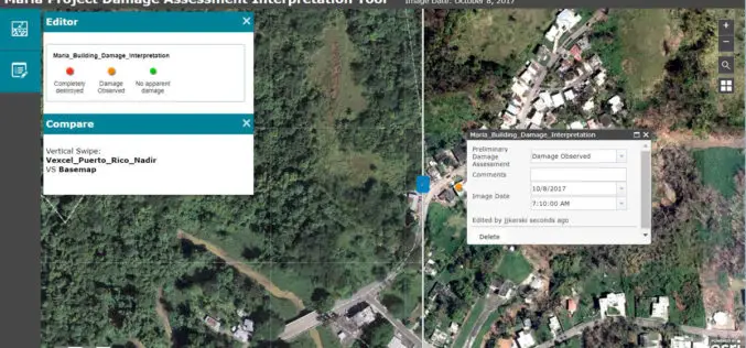
Esri Provides Mapping Technology for Students to Assess Hurricane Damage
Schools Can Use High-Resolution Imagery to Identify Where Help Is Needed to Rebuild in Puerto Rico November 9, 2017, Redlands, California – Esri, the world leader in spatial analytics, today announced it
