
Tag "mapping software"
Indonesia Regional Planning and Development Sector Powers Up Mobile Mapping by SuperPad
Supergeo Technologies, the leading GIS software provider, announces that Deli SerdangRegional Sector for Planning and Development, Indonesia selects SuperPad, the mapping applicationdesigned for Windows Mobile, to power upfieldworkquality. The Sector
Medea S.p.A., Italy Chooses SuperGIS for Pipeline Service Management
Supergeo Technologies, the leading GIS software provider,announces that Medea S.p.A., Italy selects SuperGIS Desktop and SuperGIS Server to manage its pipeline management for enhancing citizens’ life quality. Having 30-years experience,
Time to Next SuperGIS Series
Have you ever tried to transform your traditional static map into a living, dynamic map with time dimension? This October, Supergeo is going to formally launch SuperGIS Desktop 10. There
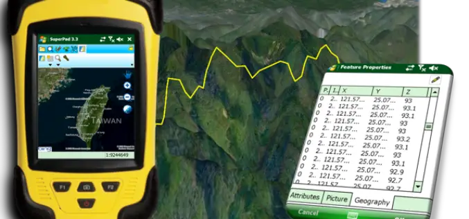
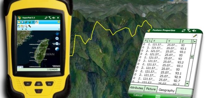
Perfection and Profession. Meet the Brand New SuperPad 3.3!
It is really our pleasure to share with you that the latest version of the SuperPad released for global users. Supergeo R&D team have been focusing on usability and reliability
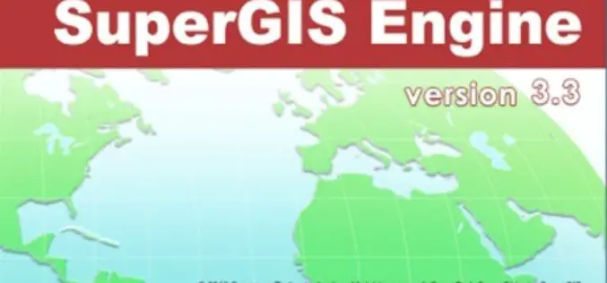
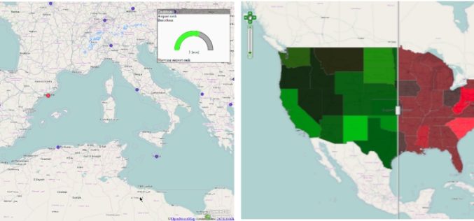
Evolve! New Techs for Developer GIS, Meet the Latest SuperGIS Engine 3.3
Supergeo Technologies, the leading global provider of complete GIS software and solutions, officially released SuperGIS Engine 3.3 for global GIS developers to customize GIS applications, meeting diverse demands in various
Embrace Efficiency and Flexibility with Latest SuperGIS Server 3.2
SuperGIS Server is designed to help users share GIS data in many ways, and a better version of SuperGIS Server3.2 just released this week. The latest update improves the management

Improve Underground Utilities Management and Public Safety by 3D GIS
Developed by Supergeo Technologies, SuperGIS 3D Earth Server is going to support underground utilities management. The breakthrough tech enables administrators to comprehend the distribution of underground utilities that cannot be
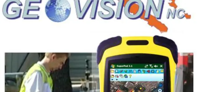
GEOVISION Utilizes SuperGIS for Maritime and Land GIS Planning
Supergeo Technologies Inc., the leading GIS software and solution provider, announces that GEOVISION, Nouvelle-Calédonie, selects cross-platform SuperGIS series products, SuperGIS Desktop, SuperSurv and SuperVeyor, to elevate its maritime and land
Climate Change Vulnerability Index System
To handle climate changes and reduce the loss of lives and properties, Taiwan government establishes a SuperGIS-powered platform, to provide latest information to support decision making. To address climate changes
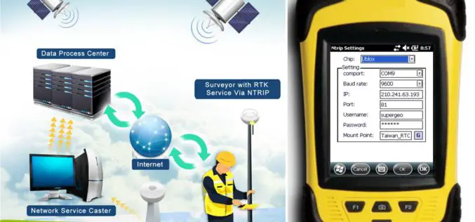
SuperPad Reveals NTRIP Solution to Achieve Centimeter Level Accuracy
Supergeo, the leading GIS software and solution provider, is going to release NTRIP solution on its Windows Mobile GIS app, SuperPad, for high accurate field data collection and geospatial workflow
