
Tag "LiDAR"
Startup EarthDefine Uses AI for Building Footprint Geocoding
EarthDefine, a provider of high-resolution geospatial spatial data that uses artificial intelligence (AI) to analyze aerial and LIDAR imagery, today announced the release of an updated building footprint database, which
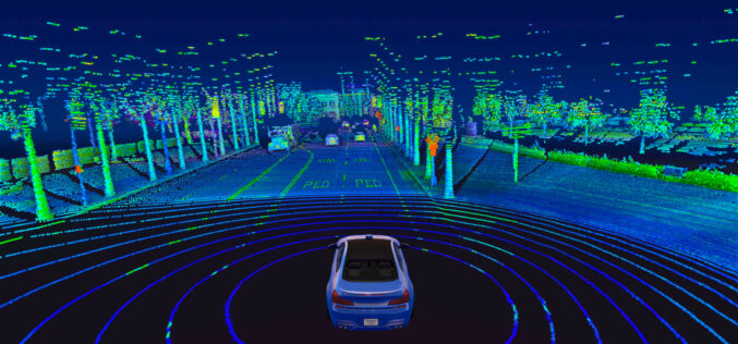
Velodyne LiDAR Announces Three-Year Sales Agreement with Baidu
Velodyne LiDAR, Inc. (Nasdaq: VLDR) today announced a three-year sales agreement with Baidu for its Alpha Prime™ LiDAR sensors. The Alpha Prime LiDAR sensors will be utilized for autonomous applications. Velodyne’s low-cost, high-scale
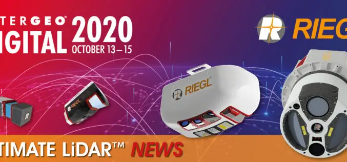
INTERGEO 2020 DIGITAL, October 13-15, 2020: RIEGL Presents Their New Products 2020
2020 is a very special year – COVID-19 has taught us to think in new dimensions and to work in new spheres. Nevertheless, RIEGL does not want to break with
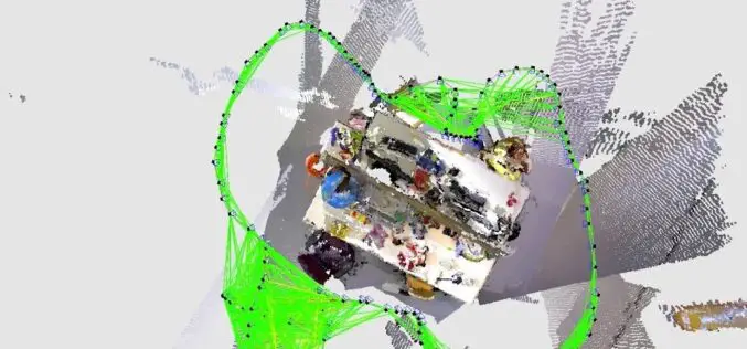
What is SLAM Algorithm and Why SLAM Matters?
SLAM or Simultaneous Localization and Mapping is an algorithm that allows device/robot to build its surrounding map and localize its location on the map at the same time.
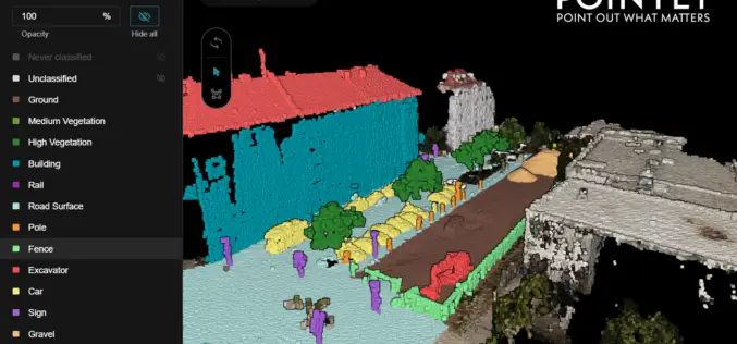
Pointly – Next Level 3D Point Cloud Classification Tool Launched
Supper & Supper has launched Pointly, the solution enabling accelerated manual 3D point cloud classification using innovative AI techniques.
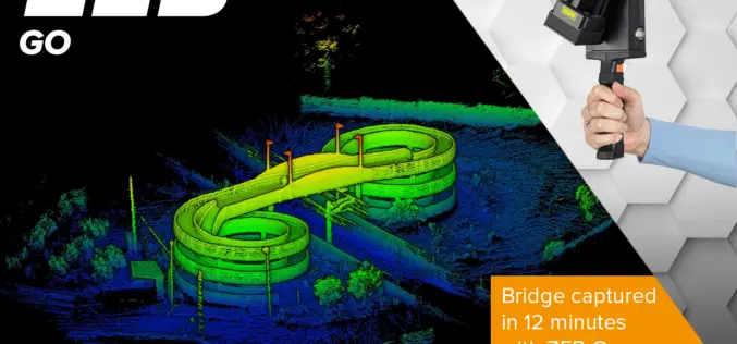
ZEB Go Launches a New Era for Mobile SLAM
There’s a smarter way to map and understand spaces, and it’s called the ZEB Go. The latest member of the ZEB family has arrived, bringing lower cost SLAM to even more people.
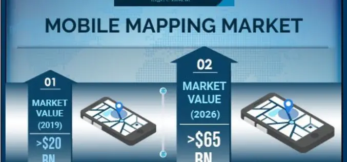
Mobile Mapping Market to Witness Steady Growth of 17% During 2020-2026
According to a recent study from market research firm Global Market Insights, the mobile mapping market is set to grow from its current market value of more than $20 billion
RedTail LiDAR Systems Supports Wounded Veterans Through Stream Restoration
The RedTail LiDAR System’s RTL-400 was used to aid in the bank restoration efforts that saved the cabin, improved stream access for disabled anglers, and more!
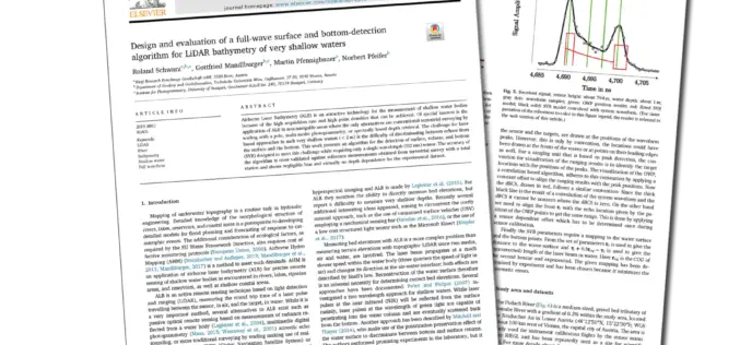
Joint Scientific Article on LiDAR for Bathymetry of Very Shallow Waters, under the Leadership of RIEGL, wins ISPRS Best Paper of 2019!
Every year the ISPRS (International Society of Photogrammetry and Remote Sensing) chooses the Best Paper of the Year from the wide range of publications in the ISPRS Journal of Photogrammetry and Remote Sensing.
Trimble Clarity: Free Point Cloud Viewer
Trimble Clarity is a browser-based viewer for point cloud and 3D model data. It can be used to share projects and progress updates to team or clients, and allows them
