
Tag "LiDAR"
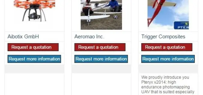
The 5most viewed UAVs for Mapping and 3D Modelling on Geo-matching.com
The Geo-matching.com website features a selection of the most important geomatics equipment, including UAS for Mapping and 3D Modelling. At www.geo-matching.com you can compare product specifications and read users’ reviews
Digital Aerial Solutions Expands Mapping Services with Purchase of Leica ALS80 Laser Scanner
Leica Geosystems Inc. today announced that Digital Aerial Solutions (DAS), a woman-owned small business based in Tampa, Fla., is the first company in North America to purchase the ALS80 laser

LizardTech Releases Updated GeoViewer Application for iOS
SEATTLE, Wash. — Feb. 9, 2015 —LizardTech®, a provider of software solutions for managing and distributing geospatial content, has released an update to its free iOS GeoViewer application for viewing
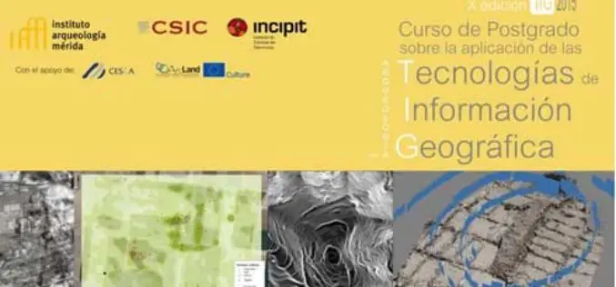
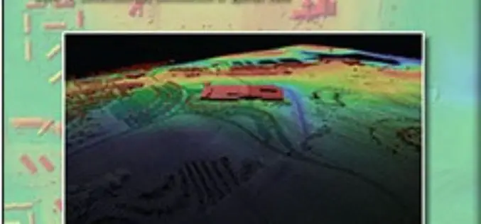
Specialization course in Geospatial Technologies for Archaeology
The ArcLand partner Incipit – Instituto de Ciencias del Patrimonio (Institute of Heritage Sciences, Spain), in collaboration with the Mérida Institute of Archaeology, announces the launching of a new edition of
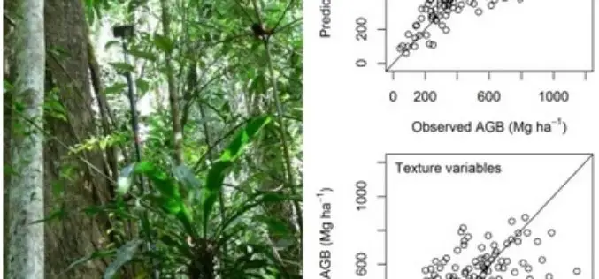
Modeling Aboveground Biomass in Dense Tropical Submontane Rainforest Using Airborne Laser Scanner Data
Modeling Aboveground Biomass in Dense Tropical Submontane Rainforest Using Airborne Laser Scanner Data – Endre Hofstad Hansen, Terje Gobakken, Ole Martin Bollandsås, Eliakimu Zahabu and Erik Næsset Abstract: Successful implementation of projects

GeoCue Group Announces Release of GeoCue 2014.1
Huntsville, AL – GeoCue Group Inc. is pleased to announce the release of GeoCue 2014.1. GeoCue is the world’s most powerful and popular geospatial production management software, available as a

Webinar: Geomatica 2014 and LiDAR for Accurate DEM Creation
Geomatica 2014 and LiDAR for Accurate DEM Creation On-demand webinar: Digital Elevation Models (DEMs) play an important role in terrain-related GIS applications. Chief among the many factors that affect the

Latest SuperGIS Desktop 3.2 Supports Lidar Data and New Analysis Functions
Supergeo Technologies, the leading global provider of complete GIS software and solutions, releases updated SuperGIS Desktop 3.2, which supports Lidar data and adds more analysis tools. SuperGIS Desktop 3.2 integrates
Lidar Base Specification
Lidar Base Specification By Hans Karl Heidemann Abstract In late 2009, a $14.3 million allocation from the “American Recovery and Reinvestment Act” for new light detection and ranging (lidar) elevation
USGS Lidar Base Specification Version 1.2
The US Geological Survey National Geospatial Program is pleased to announce a new version of the USGS Lidar Base Specification that defines deliverables for nationally consistent lidar data acquisitions. The USGS Lidar
