
Tag "LiDAR data"

Bluesky LiDAR Data Used by RPS to Assess Flood Risk for Anglian Water
November 1, 2017 – A sewer flood risk map of the Anglian Water region is being created by the Wastewater Consultancy team of RPS. The highly accurate 3D digital map
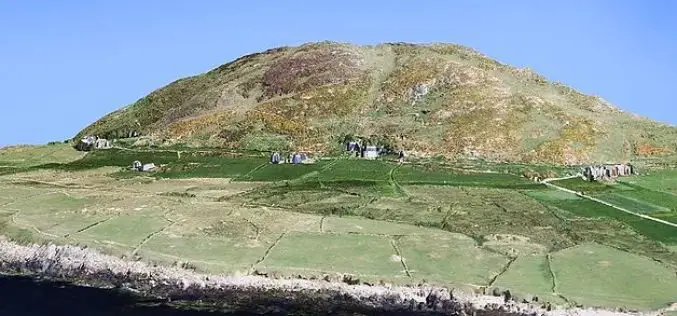
Bluesky 3D Laser Maps Will Help Protect Coastal Heritage Sites in a New €4 Million EU Project
Leicestershire, 30 March 2017 –The Royal Commission on the Ancient and Historical Monuments of Wales (RCAHMW) has commissioned aerial mapping company Bluesky to capture highly accurate laser maps of six
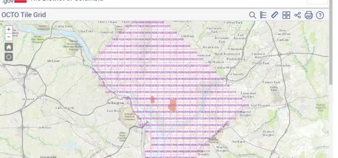
Classified LiDAR Point Cloud of Columbia Available on Amazon S3
According to recent updates on Amazon AWS, LiDAR point cloud data for Washington, DC is available for anyone to use on Amazon S3. The dataset, managed by the Office of the Chief
New Leica SPL100 Brings up to 10x More Efficiency to Airborne LiDAR
Latest Single Photon LiDAR technology collects 6 million points per second (Heerbrugg, Switzerland, 13 February 2017) – Leica Geosystems, industry leader of reality capture and measurement technology, announced today the
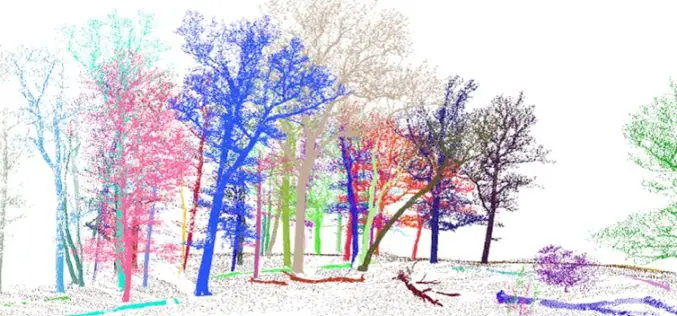
Enhanced Canopy Fuel Mapping by Integrating LiDAR Data
Background The Wildfire Sciences Team at the U.S. Geological Survey’s Earth Resources Observation and Science Center produces vegetation type, vegetation structure, and fuel products for the United States, primarily through

Global Mapper v.18 Now Available with Improved User Interface and Full Range Rendering of 3D Data
Blue Marble Geographics is pleased to announce the immediate availability ofGlobal Mapper version 18 . The culmination of an extensive design and development effort, this major version release boasts a
Esri Selected to Host Services for Michigan State-Wide Imagery Data
Esri will host up to 25 terabytes of orthophotography and LiDAR data for the State Redlands, California—The Michigan Department of Technology, Management and Budget (DTMB), located in Lansing, Michigan has
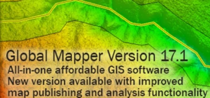
Global Mapper SDK v17.1 Released with Updates and Performance Improvements throughout the Toolkit
Hallowell, Maine – March 31, 2016 – Blue Marble Geographics (bluemarblegeo.com) is pleased to announce the immediate availability of version 17.1 of the Global Mapper Software Development Kit (SDK) along
Put Your LiDAR Data on the GIS Platform!
By rapidly collecting massive data from the surface, LiDAR technology has dramatically changed the geospatial industry. LiDAR data can record much information delicately such as the elevation, the spectrum, and
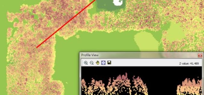
3D Forest – Forest LiDAR Data Processing Tool
Tool for point cloud data processing from forest environment acquired by terrestrial laser scanner (TLS) 3D Forest is an open-source software application for LiDAR data segmentation, visualization, and export of
