
Tag "Laser Scanner"

Introducing Polaris – Next-Generation Terrestrial Laser Scanner
Teledyne Optech to showcase its newest and most advanced TLS at SPAR 3D March 22, 2017 — Teledyne Optech is pleased to announce the release of its Polaris Terrestrial Laser

Leica Geosystems Announces Complete Imaging Solution: Leica BLK360 Imaging Laser Scanner and Autodesk ReCap 360 Pro app
Las Vegas, November 16th, 2016, Leica Geosystems announced the “BLK360,” a revolutionary miniaturized black 3D imaging laser scanner. The product was revealed at Autodesk University 2016 and will be bundled

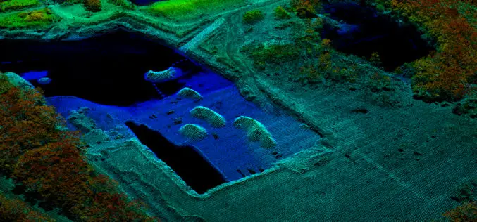
3D Laser Mapping Continue to Lead the Way With Mobile Mapping
It’s hard to believe that Mobile Mapping Systems (MMS) have been on the market for over a decade. 3D Laser Mapping was one of the first companies to create a

Everything You Always Wanted to Know on “Digital Information in 3D”!
November 4 and 5, 2015, RIEGL attended and presented at 3D Laser Mapping’s User Conference “Digital Information in 3D” at the Prince Philip House in London. At the event, the

RIEGL with Impressive Display at INTERGEO 2015 in Stuttgart
On the first day of INTERGEO RIEGL delivered an impressive display in Stuttgart! With a special UAV-area at booth E4.079, live demo UAV-flights at the outdoor area, and the unveiling
Digital Aerial Solutions Expands Mapping Services with Purchase of Leica ALS80 Laser Scanner
Leica Geosystems Inc. today announced that Digital Aerial Solutions (DAS), a woman-owned small business based in Tampa, Fla., is the first company in North America to purchase the ALS80 laser
