
Tag "Land Survey"

CORS Network to Complete Digital Land Resurvey in Kerala
Kerala State Government has given a nod to extended Digital Land Resurvey for 1,550 villages at cost of ₹807.98-crore. The project is expected to complete the resurvey of land over

China Launched the Fourth in a Series Land Survey Satellite
According to recent news by Spaceflight Now, China has returned to action on March 17, 2018, with a Long March 2D rocket blasting off from Jiuquan, marking the country’s eighth space launch

4DGlobal to Provide Applanix Products and Solutions for Land and Air Survey Customers in Australia and New Zealand
Applanix, a Trimble Company (NASDAQ: TRMB), announced today that 4DGlobal has been selected to provide products, support, and service for Applanix’ air and land customers in Australia and New Zealand.

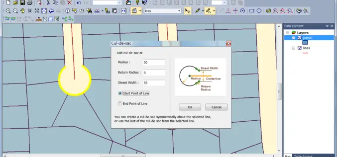
MicroSurvey CAD 2016 Now Available
A high-performance engine and intuitive new point cloud tools enable land surveyors and civil engineers to work faster and smarter. West Kelowna, BC, Canada – December 1, 2015 – MicroSurvey
Australian Land Survey Firm Increases Map Quality by SuperGIS Desktop
Supergeo Technologies, the leading GIS software and solution provider, announces that SuperGIS Desktop assists Mesurage Group Pty Ltd, Australia to process surveyed data for value-added applications and services. Located in
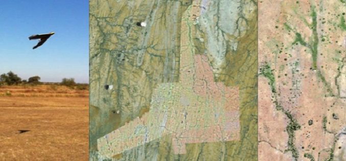
A Case Study: Using Drones in Place of LiDAR
Energizer Resources Inc., has started a major flagship project, a large graphite mining project at coast of East Africa, in Madagascar. it is named the Molo Graphite Project, or simply
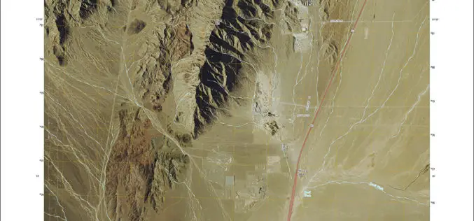
New US Topo Maps for Nevada Include Trails
Newly released US Topo maps for Nevada now feature selected trails. The data for the trails is provided to the USGS through a nation-wide “crowdsourcing” project managed by the International Mountain Biking
Scientific Land survey for Telangana Districts
According to recent news, The Telangana government will soon start a scientific integrated land information survey in nine districts of the state. The estimated time period to complete the task
