
Tag "irrigation"
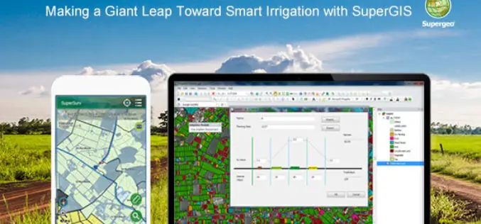
Making a Giant Leap Toward Smart Irrigation with SuperGIS
Geographic Information System (GIS) is becoming extremely popular nowadays for its capability of solving problems in the domains like cadastre management, network analysis, location selection, spatial statistics, etc. to name
Supergeo Partners with Agricultural Engineering Research Center to Develop Irrigation Solution
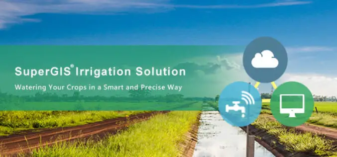
Supergeo is excited to announce that Agricultural Engineering Research Center (AERC), the leading research institute in irrigation study, has collaborated with Supergeo to develop an irrigation solution based on SuperGIS

Uttar Pradesh Goes for GIS Mapping of Minor Irrigation Constructions
According to recent news by ToI, the Minister for Minor irrigation, Groundwater, Animal husbandry and Panchayati Raj Mr. Raj Kishore Singh of Uttar Pradesh has directed that GIS mapping of construction
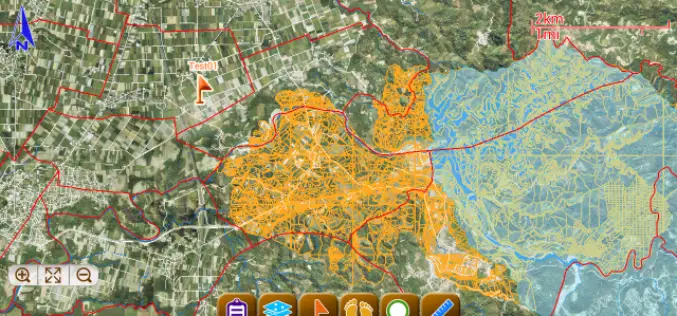
SuperSurv for Android Helps Irrigate Farms in Spain
Supergeo, the total GIS software solution provider, announces that Almacelles Irrigation Community, Spain utilizes SuperSurv for Android to improve irrigation efficiency and productivity. SuperSurv is a powerful mobile GIS App
