
Tag "Infrastructure"
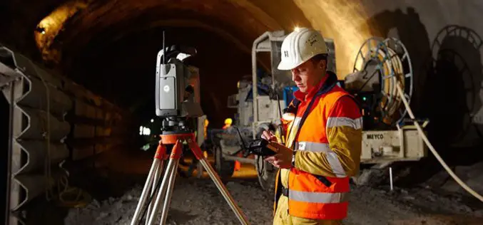
Geospatial Technologies for Infrastructure Construction & Monitoring
In an earlier editorial, on the concept and creation of smart cities, I had stated that ‘Most of the works or projects currently being taken up under the
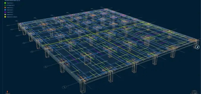
Bentley Systems Expands Concrete Building Design and Documentation Offerings through Acquisition of S-Cube Futuretech
New Capabilities Advance Structural Concrete Analysis, Design, and Documentation Solutions EXTON, Pa. — Jan. 23, 2018 — Bentley Systems, Incorporated, a leading global provider of comprehensive software solutions for advancing infrastructure,
SuperGIS is Selected for Public Infrastructure in Nepal
Supergeo Technologies, the global leading GIS software and solution provider, announces that Rajdevi Engineering Consultant utilizes SuperGIS Desktop, SuperGIS Spatial Analyst and SuperGIS 3D Analyst in several governmental public infrastructure

Visually Challenged Soon Have 3D Printed Maps
Recently in news, Japan’s cartographic authorities have announced that it has developed a software that allows users to download data from the internet and produce low cost geographical maps
