
Tag "Indian national Centre for Ocean Information Services"

GIS
Mapping of Multi-Hazard Coastal Vulnerability
Earth System Science Organization (ESSO) – Indian National Centre for Ocean Information Services (INCOIS), Hyderabad and ESSO-Integrated Coastal and Marine Area Management (ICMAM), Chennai have carried out mapping and demarcating of
GIS
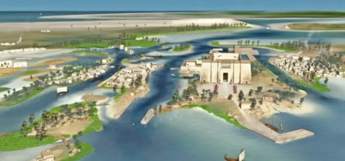
INCOIS: 3D Mapping of Cyclone Prone Zones
Indian national Centre for Ocean Information Services (INCOIS) has started survey of cyclone prone areas. The survey carried out to build a comprehensive database of all residential and other construction
