
Tag "Hydromorphological"
GIS
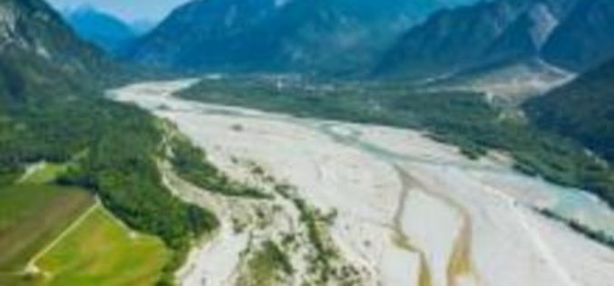
A New Method for Mapping River Properties Using Remote Sensing
A JRC-led article published in Remote Sensing last week presents a new method for mapping river properties using remote sensing. The new method provides a tool for monitoring and characterising the
