
Tag "Hexagon Geosystems"
Leica Geosystems Acquires M&P Survey in the UK
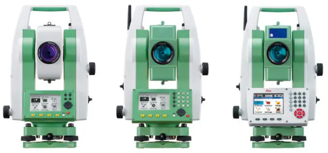
In March 2016, Hexagon Geosystems, business division of Hexagon including Leica Geosystems, acquired M&P Survey Equipment Limited – one of the UK’s leading Leica Geosystems distributors. Since then, Hexagon Geosystems

Esri and Hexagon Promote Their Joint Collaboration at HxGN LIVE
Redlands, California—June 14, 2016—In 2015, Esri and Hexagon jointly announced a series of ready-to-use imagery services to Esri users through the ArcGIS Market Place. The ArcGIS Market Place delivers high-resolution

Hexagon Geosystems, Hexagon Geospatial to host inaugural National Mapping & Cadastre Authorities Summit
Summit addresses new challenges faced by National Mapping Agencies and Cadastre Authorities and offers solutions to overcome the issues 15 September 2015. Hexagon Geosystems and Hexagon Geospatial will host a summit

Nominations Open for the Prestigious Carl Pulfrich Award 2015
Heerbrugg, Switzerland, 26 May 2015 – Hexagon Geosystems is pleased to continue the tradition of promoting outstanding scientific, application-oriented design and/or manufacturing activities in the field of photogrammetry, remote sensing
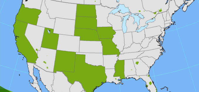
PR: Hexagon Imagery Programme Releases New Airborne Imagery Content
Imagery for a full 11 states plus portions of six other states in the U.S. have been provided in the HxIP as part of its airborne imagery offerings from the
