
Tag "GNSS"
Why Greenwich Meridian Have Longitudinal Shift?
In 1884, the International Meridian Conference recommended that the prime meridian “to be employed as a common zero of longitude and standard of time-reckoning throughout the globe” pass through the

TerraGo Edge 3.7 Enhances Forms and Expands High Precision GPS/GIS Integration
TerraGo Edge 3.7 Enhances Forms and Expands High Precision GPS/GIS Integration September 15, 2015 12:00 – 12:30 PM ET The latest release of TerraGo Edge further expands integration with GIS

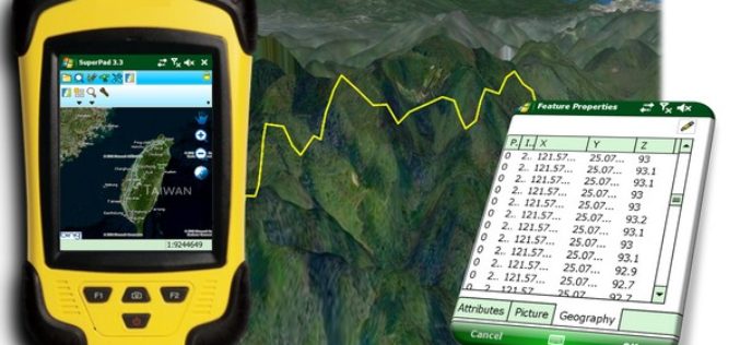
French Energy Company SPIE chooses SuperPad To Enhance Survey Efficiency
Supergeo, the total GIS software solution provider, announces that SPIE, France, chooses SuperPad, the mapping application designed for Windows Mobile,to empower its streetlights and other utilities survey works. SPIE, the
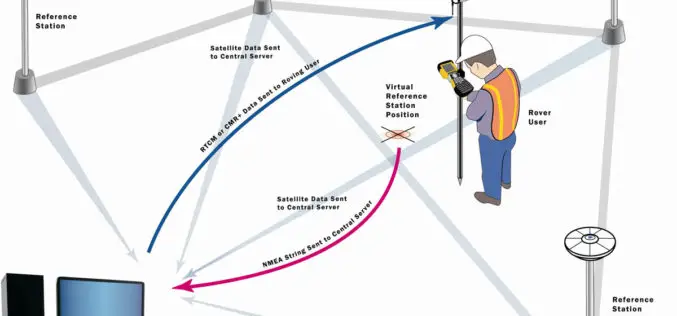
Trimble Launches VRS Now Service in New Mexico
Accurate and Reliable Centimeter-Level GNSS Performance for Geospatial Professionals SUNNYVALE, Calif., Aug. 10, 2015—Trimble (NASDAQ: TRMB) announced today the launch of Trimble® VRS Now™ correction service in New Mexico. The
SuperField Supports Portuguese GPS Provider with GIS Application
Nautel, Portugal, the navigation and GPS turnkey solution provider, selects SuperField, the GIS data collection application, to provide users with a complete survey task-oriented choice. Founded in 1990, the Lisbon-based
New JavaScript Samples for Integrating GIS Online Resources
In the world of Internet sharing, there are more and more online resources freely available for you. Now in SuperGIS Server JavaScript APIs, we provide you a series of samples
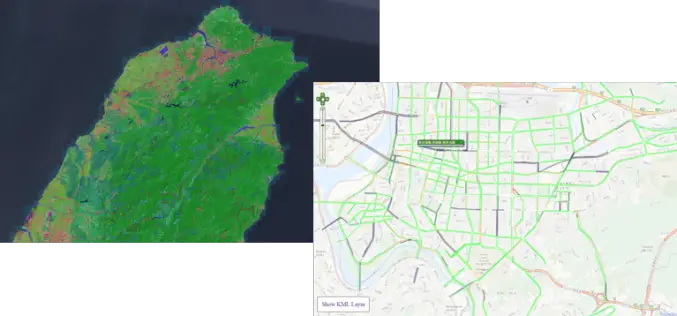
Indonesia Regional Planning and Development Sector Powers Up Mobile Mapping by SuperPad
Supergeo Technologies, the leading GIS software provider, announces that Deli SerdangRegional Sector for Planning and Development, Indonesia selects SuperPad, the mapping applicationdesigned for Windows Mobile, to power upfieldworkquality. The Sector

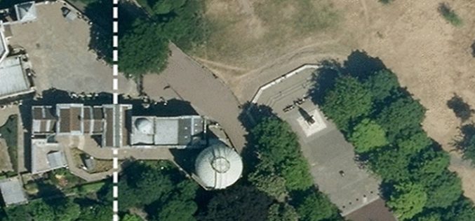
Leica Introduce Leica Pegasus: Backpack Industry First Wearable Reality Capture
Leica Geosystems announced the commercial availability of Leica Pegasus: Backpack this week at HxGN LIVE. Leica Pegasus: Backpack is first of its kind in geospatial industry. It comes with a

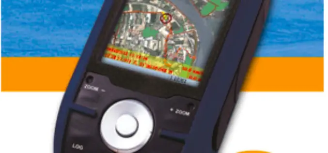
New Leica Zeno 20 redefines GIS data collection
Leica Geosystems has unveiled its new GIS data collection solution, the Leica Zeno 20 – an extremely accurate and intuitive solution. The Leica Zeno 20 is the first high accuracy
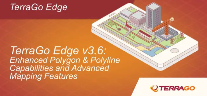
TerraGo Edge Ups the Ante for Mobile Surveying with High-Precision GPS and Advanced Mapping Features
TerraGo Edge Version 3.6 provides advanced support for EOS and SXBlue High-Precision GNSS receivers on iOS and Android, adds new mobile surveying features, new basemap sources and integration with Google Earth. New
