
Tag "GIS"

SuperGIS 3D Earth Server 3.2 Officially Launched
Supergeo Technologies, the leading global provider of complete GIS software and solutions, officially released SuperGIS 3D Earth Server 3.2, to assist enterprises in managing, integrating, publishing and displaying geographic data

Comsoft Paris Uses SuperSurv 3 to Extend Enterprise Solutions
Supergeo Technologies, the leading global provider of complete GIS software and solutions, announced that Comsoft Paris selected SuperSurv, the data collection app for Android and iOS platforms, to extend business
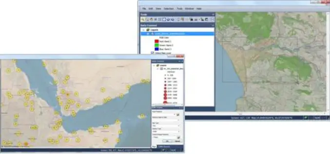
SuperGIS Engine 3.2 Globally Released for Efficient GIS Development
Supergeo Technologies, the leading global provider of complete GIS software and solutions, officially released SuperGIS Engine 3.2 to assists GIS developers in customizing GIS applications to meet diverse requirements of
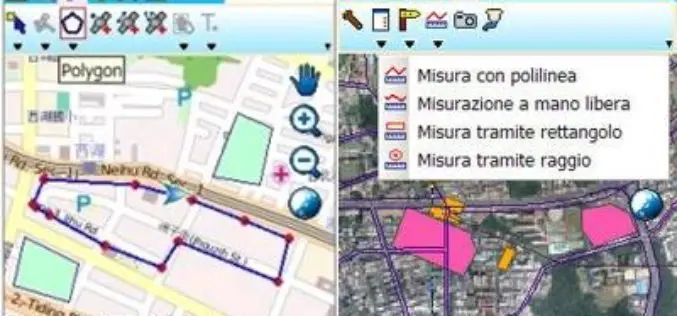
Plaza GPS, Indonesia, Selects SuperPad to Enhance Mobile GIS Provision
Supergeo Technologies, the leading global provider of complete GIS software and solutions, announced the cooperation with Plaza GPS, Indonesia. The experienced hardware provider selected SuperPad through PT. Datascrip, Supergeo’s partner,

Supergeo Partners with GPS P.L to Offer iOS-powered Mobile GIS Turnkey Solution
GPS.PL has nearly 2 decades experience in the field of GNSS and INS, covering diverse areas like sea, air, farming, forestry, ecology, and defense, field survey, etc. The provision of
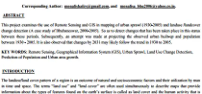
Urban Sprawl Mapping And Land Use Change Analysis Using Remote Sensing And GIS (Case Study Of Bhubaneswar City, Orissa)
Urban Sprawl Mapping And Land Use Change Analysis Using Remote Sensing And GIS (Case Study Of Bhubaneswar City, Orissa) Monalisha Mishra, Kamal Kant Mishra, A.P. Subudhi Abstarct: This project examines
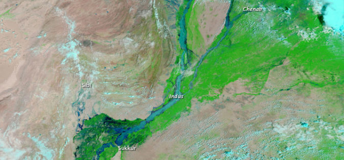
Pakistan to Adopt Remote Sensing and GIS Based Flood Mitigation System
In recent news by The Express Tribune, Pakistan Space and Upper Atmosphere Research Commission (SUPARCO) in collaboration with UNESCO will install satellite remote sensing and GIS technologies across Pakistan for
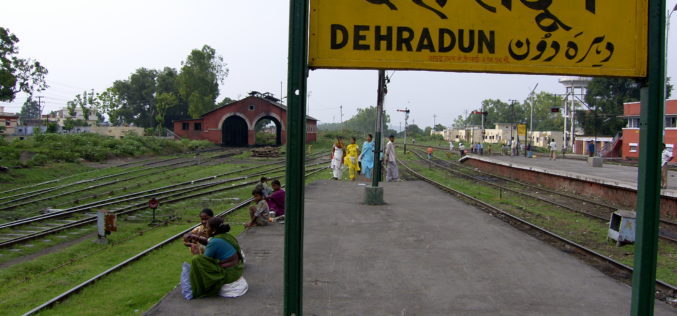
Dehradun Municipal Corporation Fails to Put GIS into Property Assesment
In a recent news by Hindustan Times, the Dehradun Municipal Corporation (DMC) has failed to put into use the Geographical Information System (GIS) for mapping properties in the state capital. In the

World Bank Credits $153 Million to Odisha Disaster Recovery Project
In a recent news, World Bank has approves a $153 million to the state of Odisha in India to strength its capacity for disaster risk management and to build disaster

As of No GIS Road Information for Nagaland
In recent news, there is no proper mapping or network database of roads for the entire state of Nagaland. It may be that entire world is enjoying the extensive road
