
Tag "GIS tool"
TatukGIS Announces Kernal 11 of its GIS Developer Kernel (DK) for ASP.NET Web Forms
TatukGIS is a leading geospatial technology company that makes an advanced level, general-purpose GIS mapping software development kits used by companies in a wide range of industries to develop custom

Waikato Regional Council, New Zealand Developed GIS-based Innovative Tool for Soil Conservation
New Zealand – An innovative tool to support soil conservation developed by Waikato Regional Council land and soil scientist Dr. Reece Hill made it into the finals of two categories
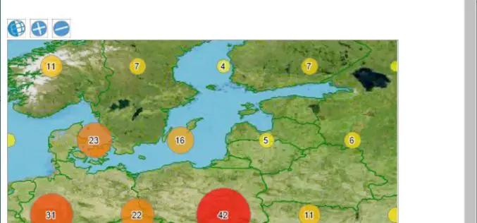
Esri Launches National Green Infrastructure Initiative for Planning
Maps, Data Empower Local Communities to Identify, Protect, and Connect Nature’s Network Redlands, California—Esri, the world leader in geographic information system (GIS) technology, has launched a suite of public mapping

ISRO to Map and Create 3D Modelling of National Heritage Sites
Ministry of Culture, Government of India and Indian Space Research Organisation (ISRO) has collaborated to start a national project for inventory and monitoring of archaeological sites of the country. The
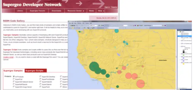
Supergeo Launches Rich Customization Samples of SuperGIS Desktop 3.2
Supergeo Technologies, a leading global provider of GIS software and solutions, released plentiful customization samples and technical resources of SuperGIS Desktop 3.2. GIS developers and programmers are empowered to build
