
Tag "GIS software"

Boost Fieldwork Productivity with Latest SuperSurv 3.3
Supergeo Technologies Inc. has recently improved and released the latest version of SuperSurv, the leading mobile GIS software. Developed and maintained by the product team for years, SuperSurv is one
SimActive Launches Subscription UAV Software
SimActive Inc., a world-leading developer of photogrammetry software, is pleased to announce a new subscription-based offering for Correlator3D™ UAV. The rental option allows users with a dynamic workload to access
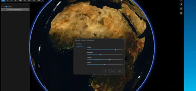
ArcGIS Earth Just Got Even Better With Launch of ArcGIS Earth 1.3
ArcGIS Earth 1.3 with Control Vertical Exaggeration and Image Properties With ArcGIS Earth 1.3 you can now do more with terrain, imagery, and KML. You will also discover authentication improvements

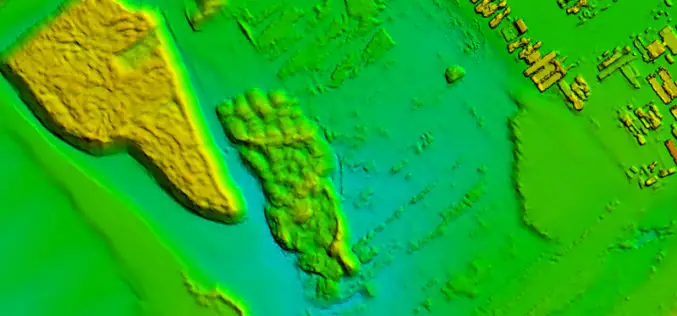
Global Mapper v.18 Now Available with Improved User Interface and Full Range Rendering of 3D Data
Blue Marble Geographics is pleased to announce the immediate availability ofGlobal Mapper version 18 . The culmination of an extensive design and development effort, this major version release boasts a
SuperGIS Server 3.3 Is Now Released!
SuperGIS Server 3.3.0001, the latest version of SuperGIS Server is now released! In this version, the most distinguishable feature will be the new ultra application, which has not only a

SuperPad Helps Cultural Heritage Preservation in Aceh
The worldwide GIS software and solution provider, Supergeo is pleased to announce that the full-featured mobile GIS software, SuperPad, has been selected by BPCB Aceh to assist heritage preservation in
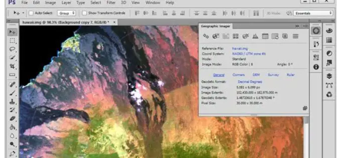
Avenza Releases Geographic Imager 5.1 for Adobe Photoshop
GeoPackage now a supported format Toronto, ON, September 13, 2016 – Avenza Systems Inc., producers of the Avenza Maps app for mobile devices and geospatial plug-ins for Adobe Creative Cloud,
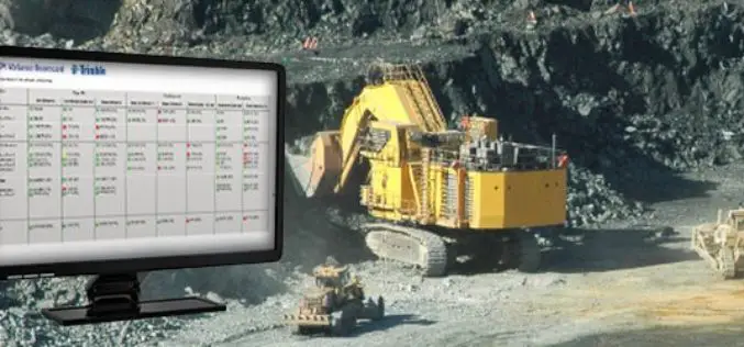
Trimble Connected Mine Provides Spatial Data Visualization Using Trimble and Microsoft Mixed-Reality Technologies
Trimble Provides a Single Source of Data Across the Mine Enterprise SUNNYVALE, Calif., Sept. 13, 2016—Trimble (NASDAQ:TRMB) announced today the release of its Trimble® Connected Mine™ Visual Intelligence module with
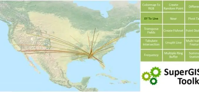
Accelerating Your Geospatial Work with SuperGIS Toolkit 10
Currently, spatial information is widely used in many industries, and the demand for analyzing and processing spatial data is also booming. To meet needs from different industries and users, Supergeo

Italian Water Supplier, APM group, Further Selects SuperGIS Geospatial Solution
Supergeo, the global GIS software and solution provider, is pleased to announce that the Italian local water supplier, APM group, further selects SuperGIS products as its geospatial solution. Located in
